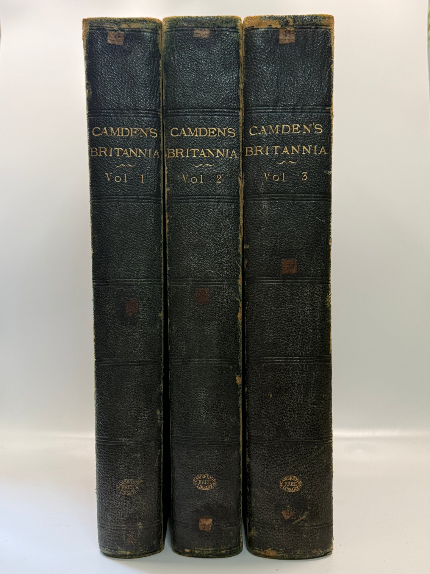
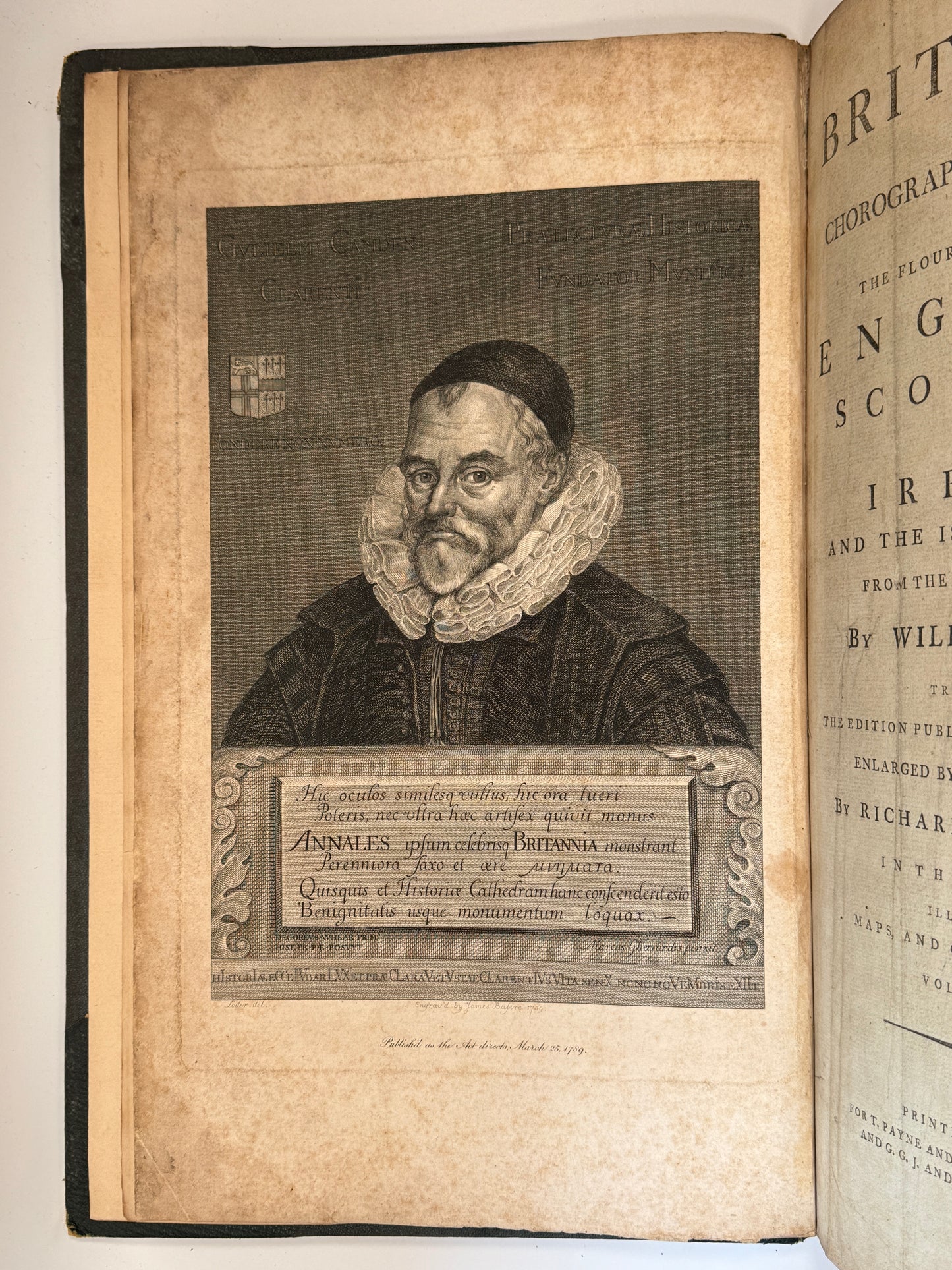
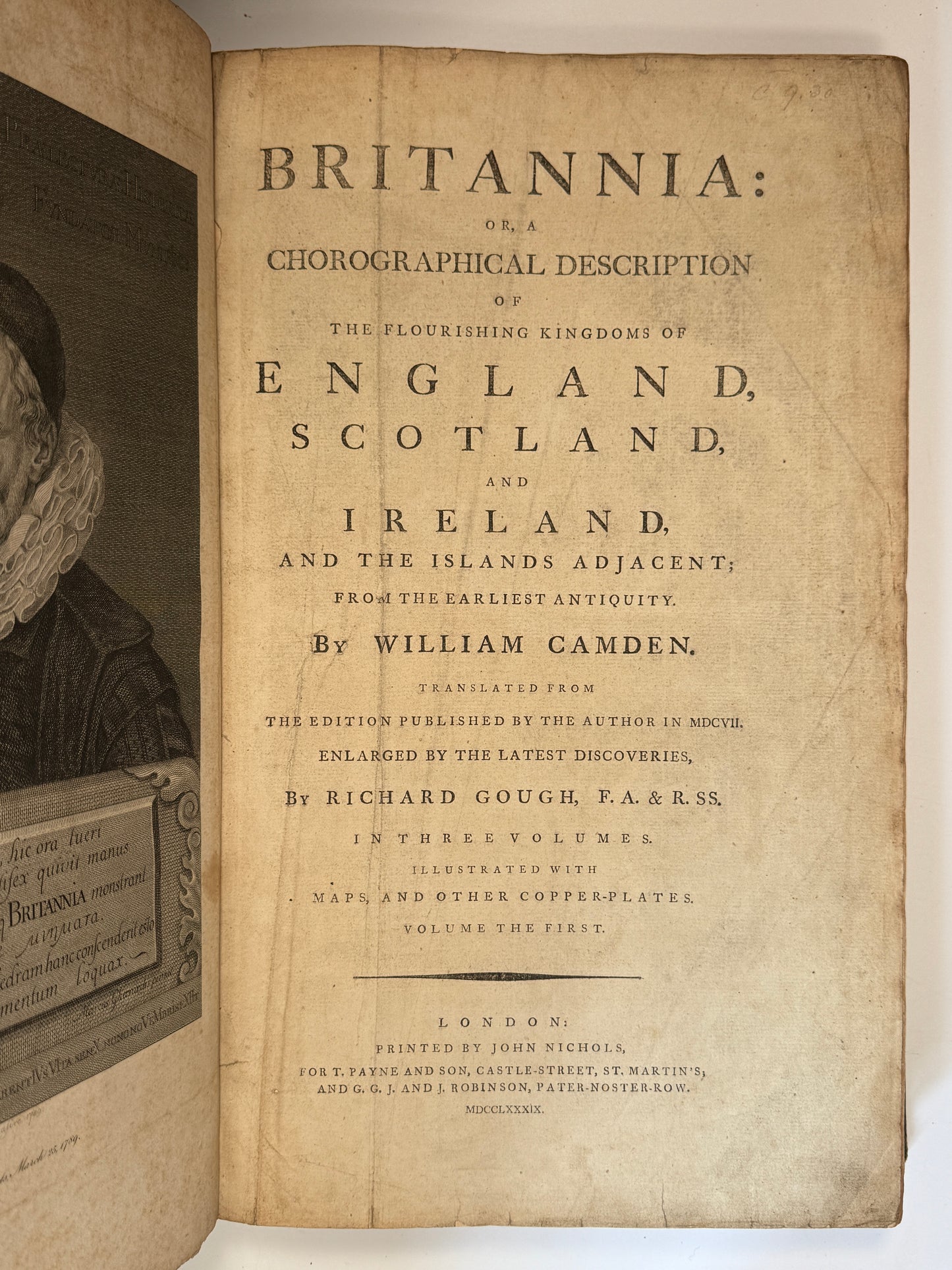
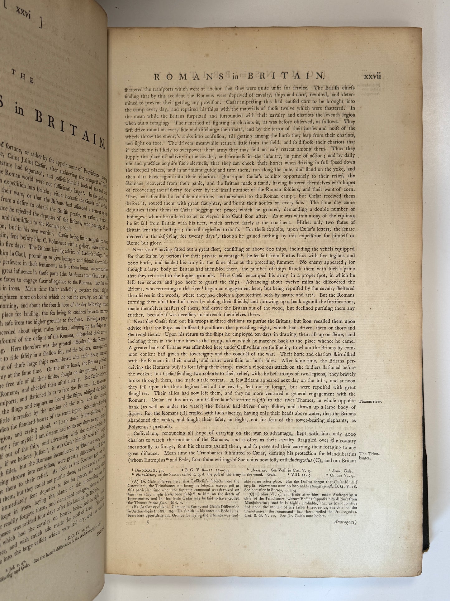
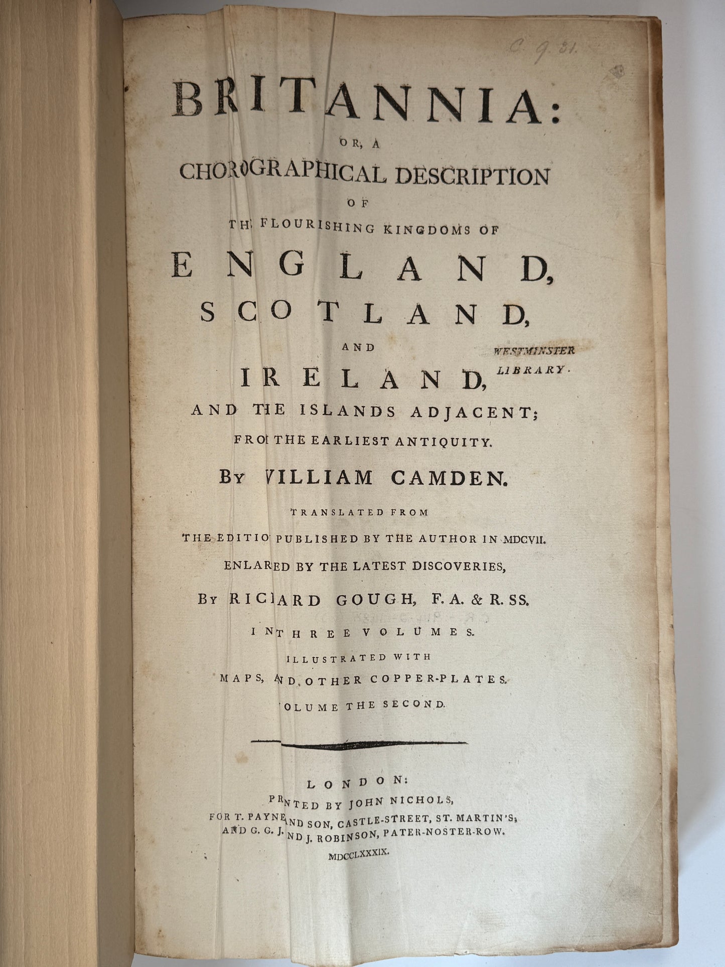
Britannia: Or, a Chorographical Description of England, Scotland, and Ireland, and the Islands Adjacent from the Earliest Antiquity. By William Camden. Translated from the Edition Published by the Author in MDCVII. Enlarged by the Latest Discoveries, by Richard Gough, F.A. & R.SS. In Three Volumes. Illustrated with Maps and Other Copper-Plates. London: Printed by John Nichols, for T. Payne and Son, and G. G. J. and J. Robinson, MDCCLXXXIX (1789), folios.
-------------------
Provenance:
Bookplate from the Cambridge City Libraries, Central Reference Library with the shelf marks 914.2 - ?. The books are bound in the Cambridge Free Library cloth library bindings with two different bookplates. The first bookplate has the shelf marks B31.6 - ?, as well as another Cambridge Free Library bookplate with the acquisition date of 1855.
-------------------
Size: 275 x 440 mm (approx., each)
Condition:
[(1), frontis, t.p., 1ff., b2, c1, a-f2, 1ff., a-b2, a-u2, x3, y-2e2, 2f1, 2g2, 2f-2n2, 2o3, B-3C2, 3D3, 3E-5F2, 5G1, (1)]; [(1), t.p., 1ff., B, B-2G2, 2H3, 2I-2N2, 2O4, 2P-2Q2, 2T2, 2T*2, 2T3, 2U-3A2, 3B3, 3C-4M2, 4N3, O4, O2, 4P-5G2, 5H3, 5I-5O2, *5O2, 5P*2, 5P-5S2, 5T3, 5U-6N2, 6O1, 6P-7M2, 7N1, 7O-7Z2, 8A1, (1)]; [(1), t.p., a2, B1, B-3U2, *3U1, 3X-5M2, 5N4, 5O-5Z2, 6A1, 6B-6G2, *6G2, 6H2, *6H-**6H2, 6I-9F2, 9G3, 9H-9U2, (1)].
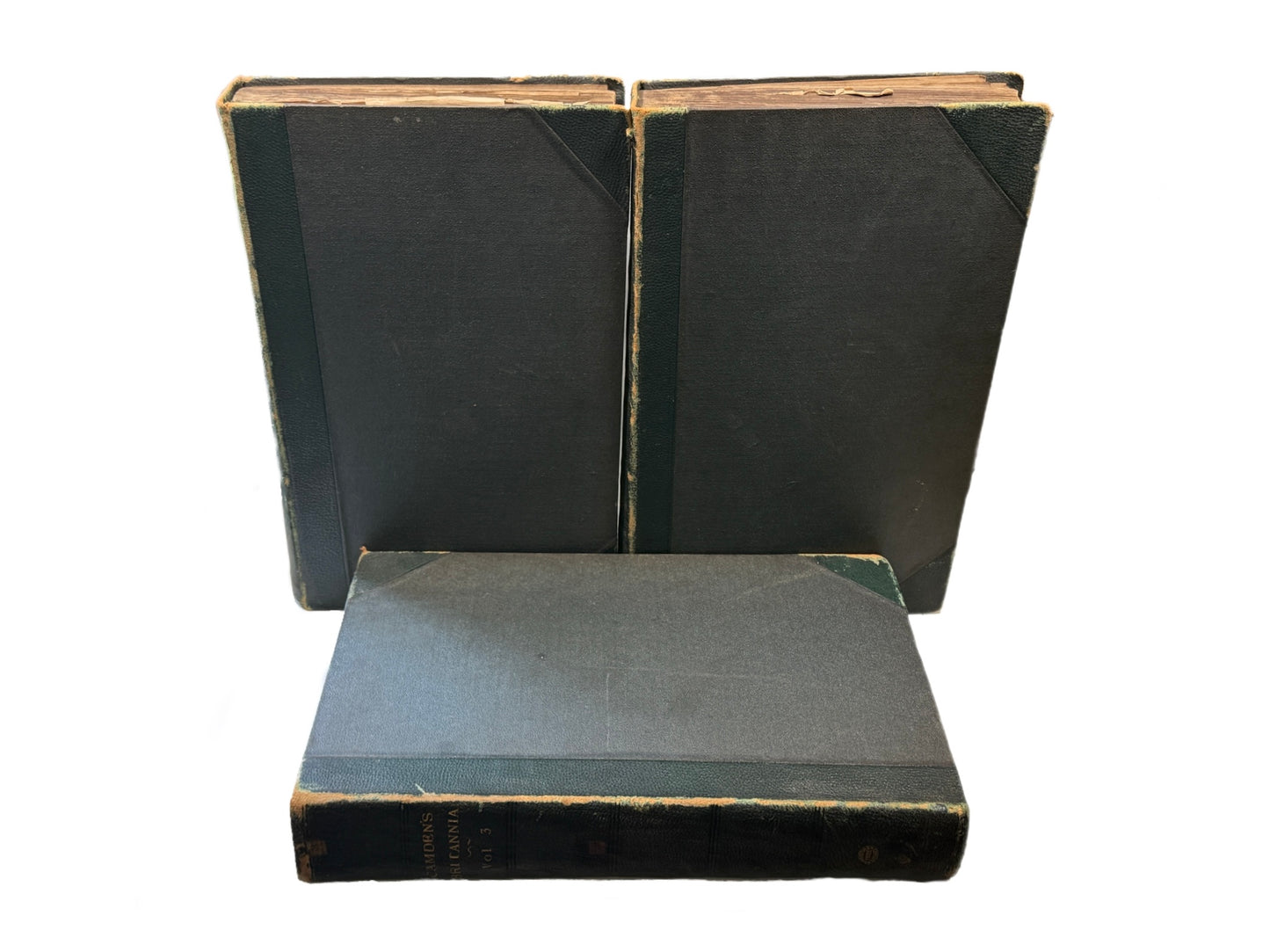
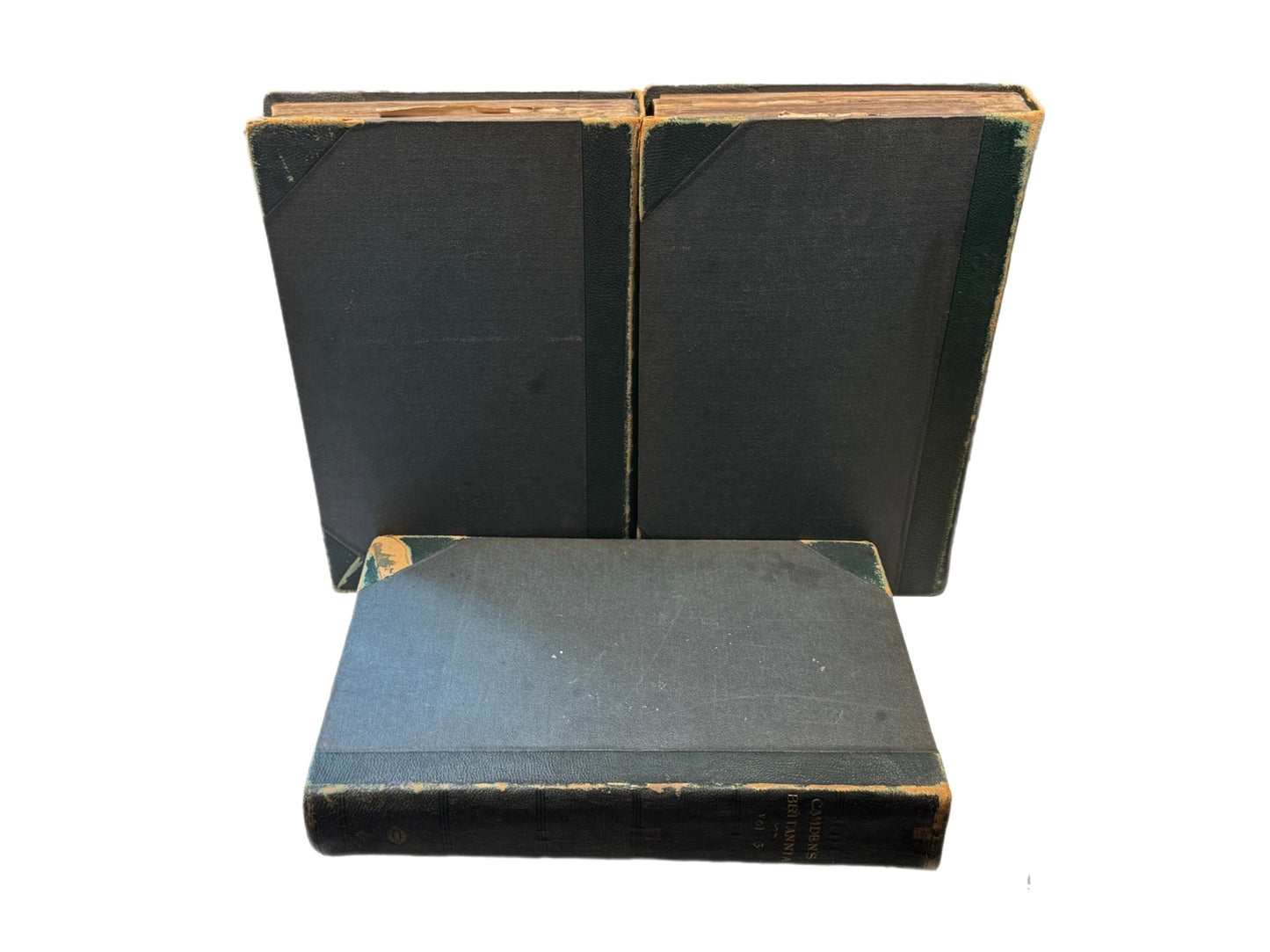
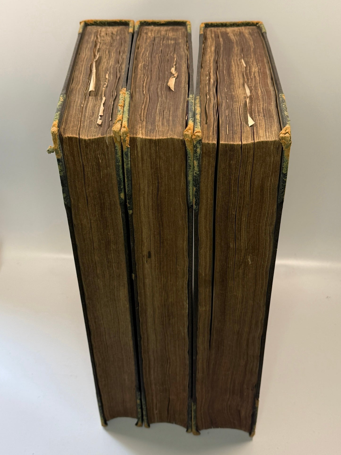
Circa 19th century library bindings from the Cambridge Free Library, half morocco over cloth boards with gilt tiles, volume numbers, and library name to the spines. Bindings rubbed and scuffed, more so to extremities, and with some marks. Shelf and edge wear. All boards attached with rubbing along joints and hinges cracked, thus somewhat fragile. Page edges toned. Text blocks very clean with edge toning and occasional foxing. Occasional minor closed edge tears.
Cambridge Free Library and the Cambridge City Library bookplates to front pastedowns. Cambridge Free Library acquisition bookplate dated 1855 to the verso of the title pages with an ink inscription below in all volumes. A stamp below the bookplate on the verso of the title in volume one. Small number of pencil and ink marginalia. Small number of ink stains, text still legible through the stains. Ink inscriptions to some pages and maps in volume two, fairly large font, one inscription overlapping some text to pp.92 in volume two (2A2). Small tear with minor loss to the white space to H2 in volume two. Small closed edge tear to 7B2 in volume three. Title page and front blank in volume three creased. 6A2 appears to be lacking based on the signatures, however the verso of 6A1 is paginated as 460 and the following page, 6B1, is paginated as 461. 2F2 appears to be lacking however the pagination follows from 2E2 to 2F1 to 2G1, and so it would seem that the signatures are simply erroneous here.
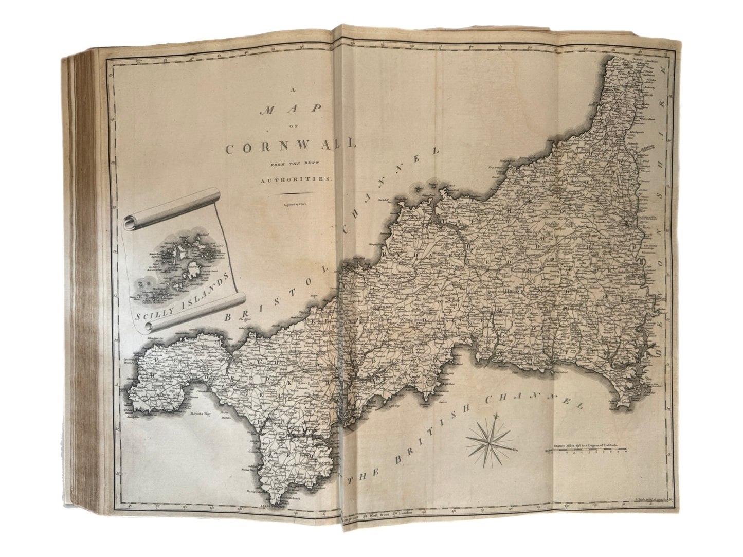
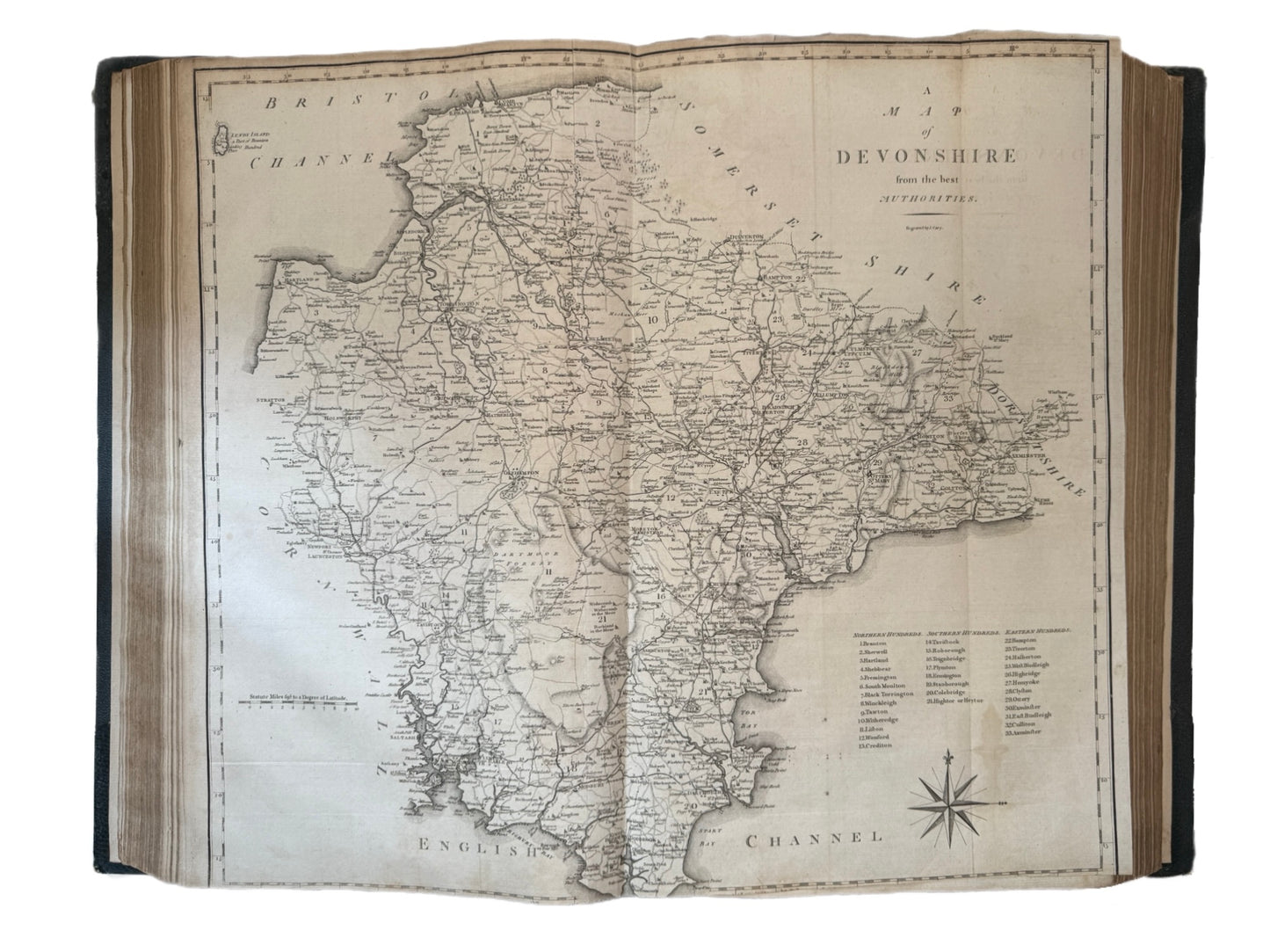
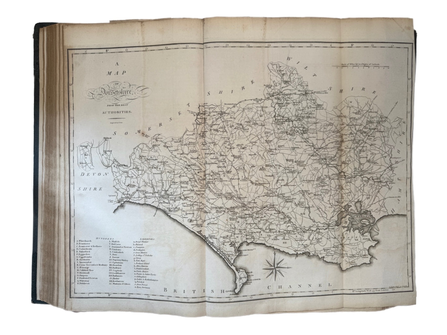
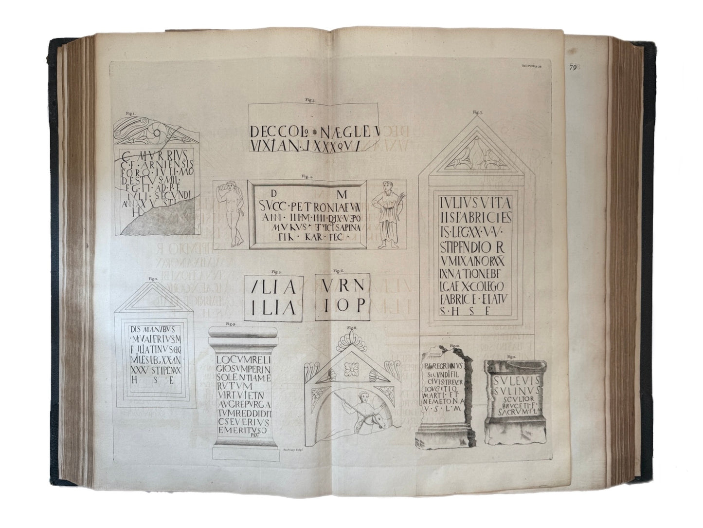
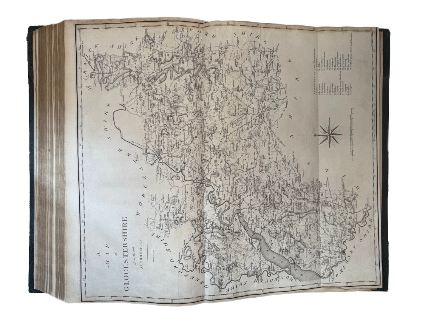
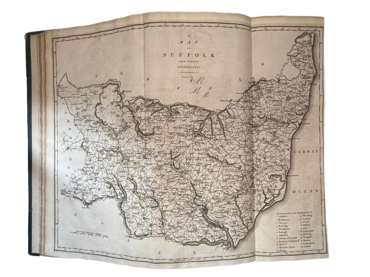
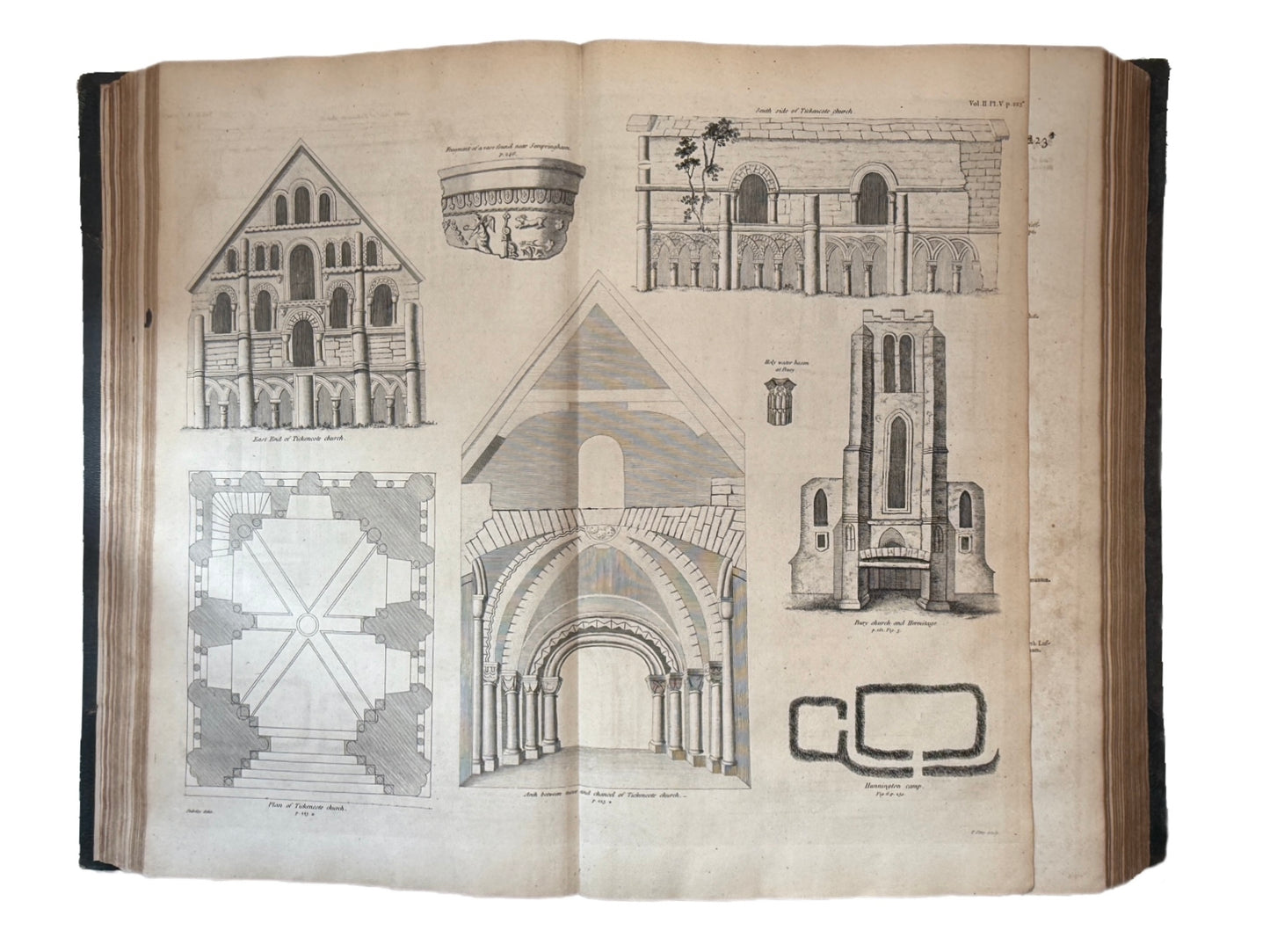
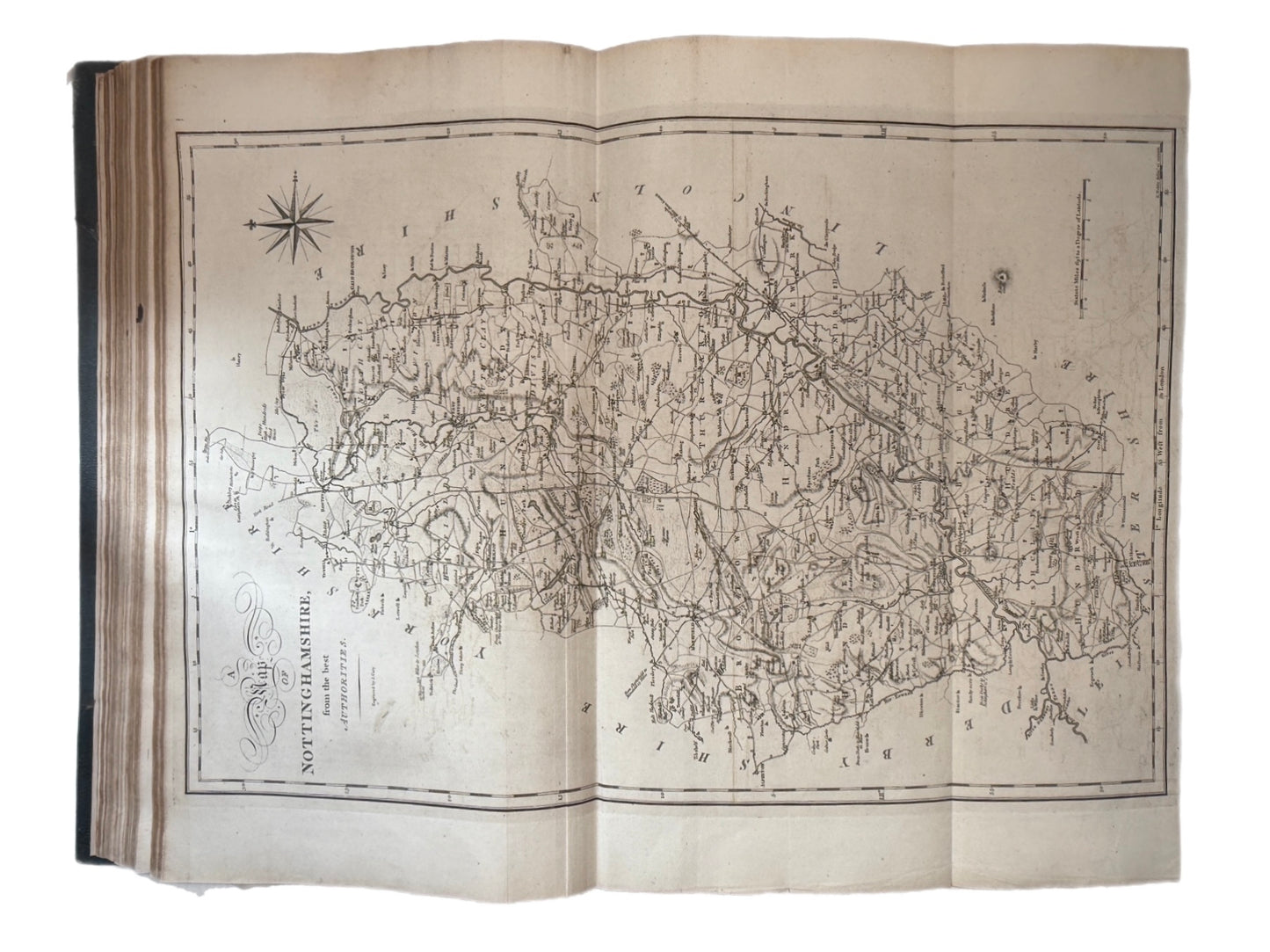
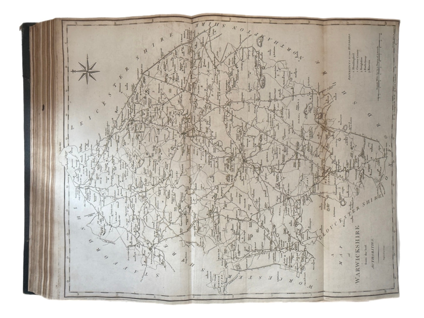
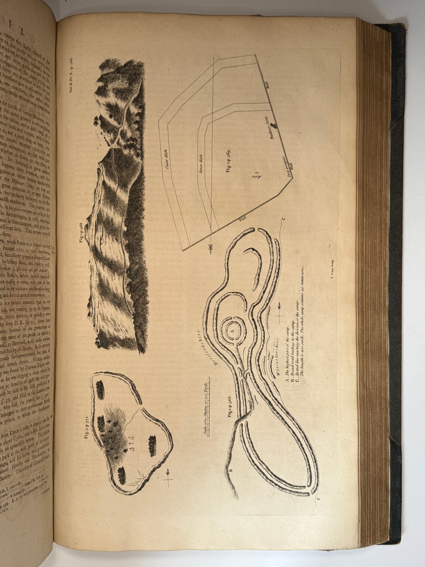
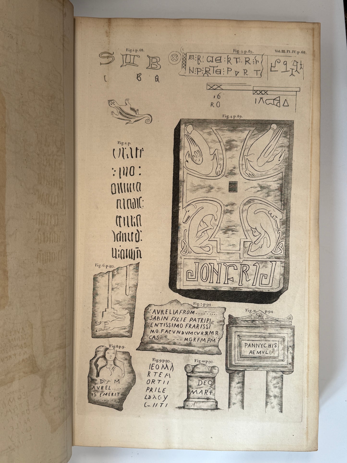
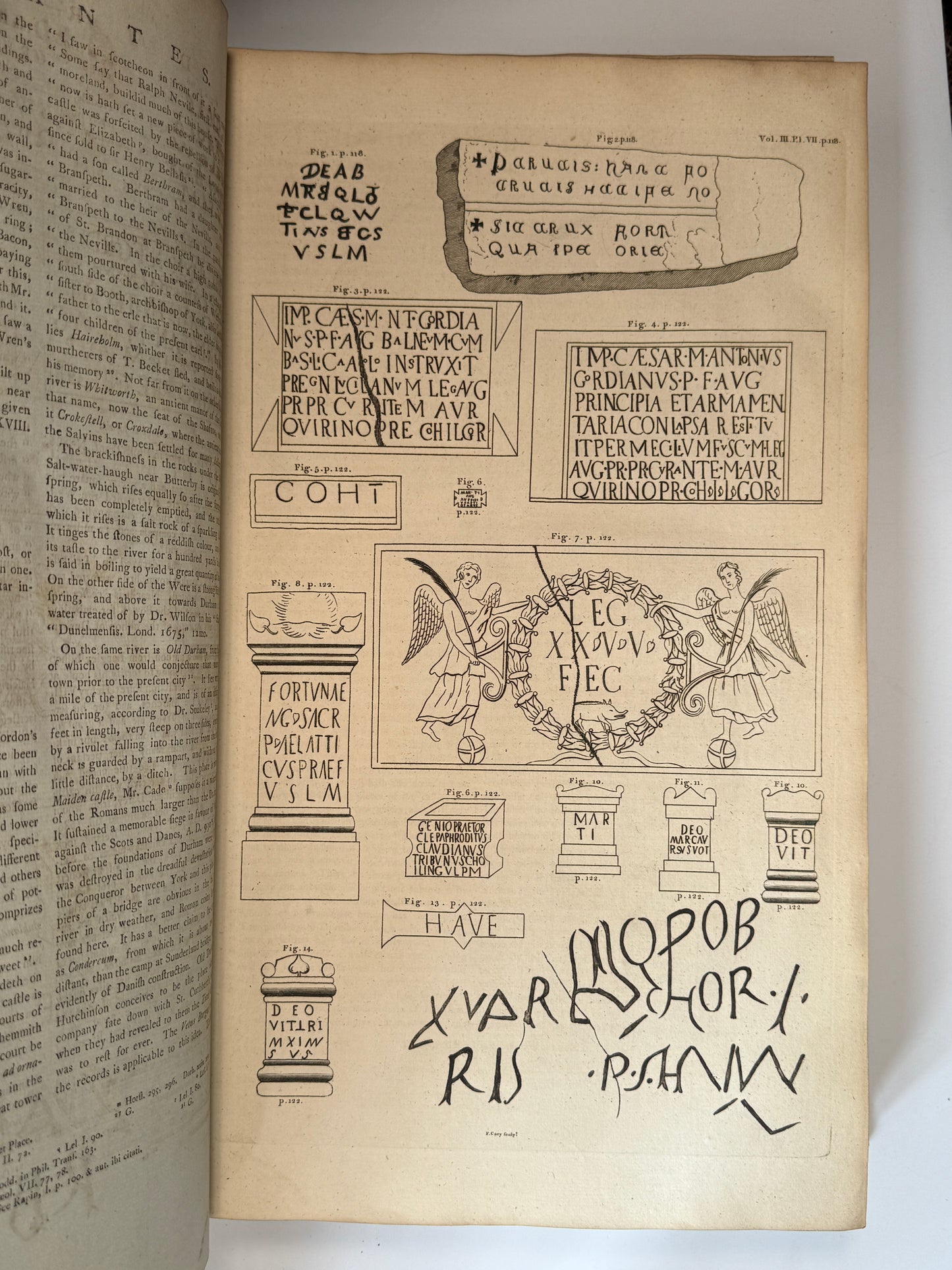
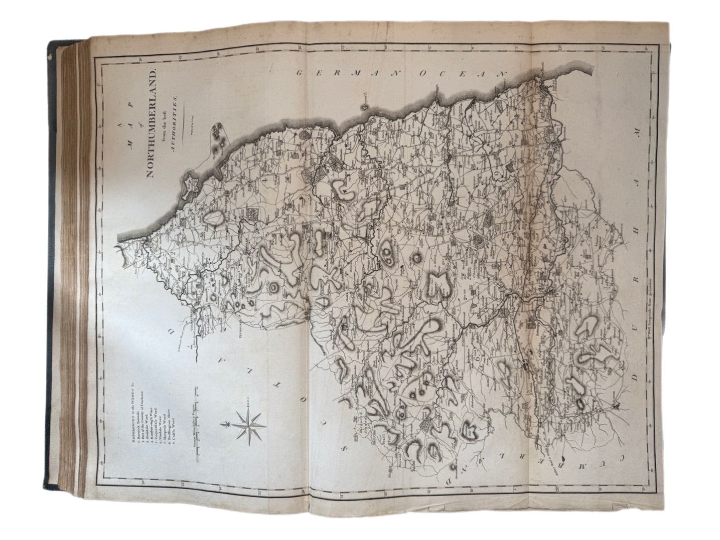
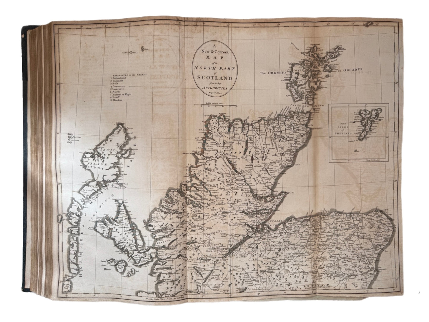
There are 155 plates and maps in total, comprising of single and double page maps and illustrations, that being 98 plates and 57 maps:
- Volume one contains twenty-one 1pp. plates, one 2pp. plate, two 1pp. maps, and 17 2pp. maps.
- Volume two contains twenty-two 1pp. plates, five 2pp. plates, and twenty-one 2pp. maps.
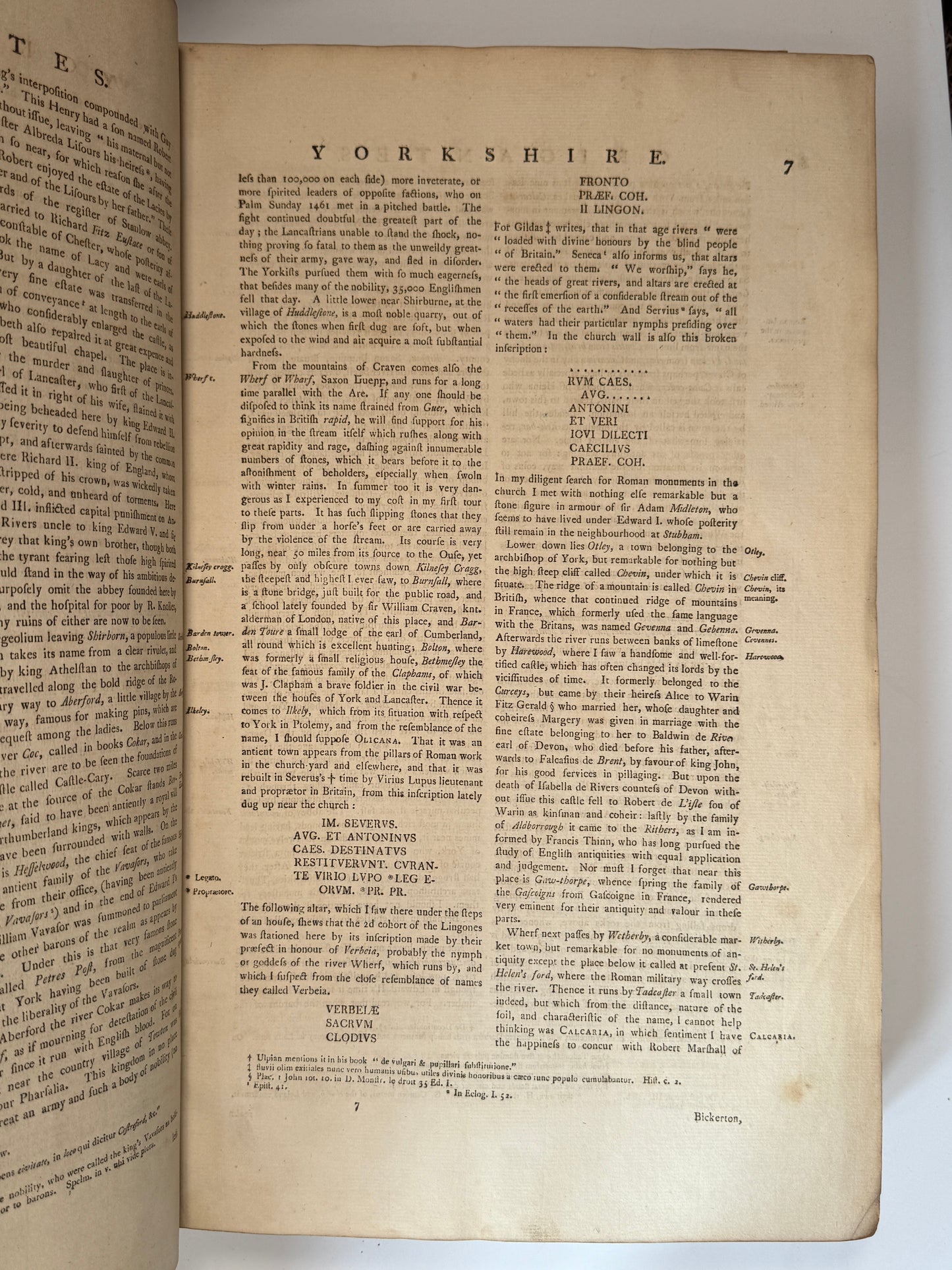
- Volume three contains forty-six 1pp. plates, three 2pp. plates, three 1pp. maps, and fourteen 2pp. maps.