A Composite Atlas of 23 French Maps, mostly by Robert de Vaugondy, c.1770s. Elephant atlas folio.
-------------------
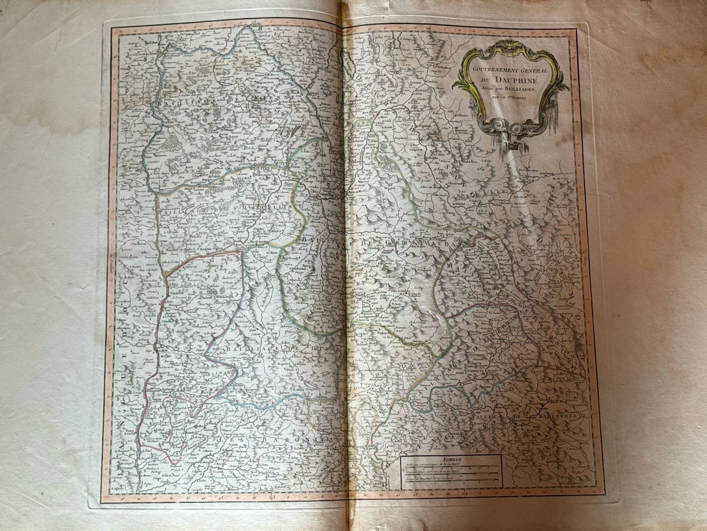
An attractive and exceptionally large format composite atlas comprising twenty-two regional maps of France (each approx. 800 x 552 mm) and one general map of the whole country by Jean-Baptiste d'Anville (dated 1774). The remaining maps are by Gilles Robert de Vaugondy, with one example attributable to his successor, de la Marche. The maps are finely engraved and richly detailed, most with attractive contemporary hand-coloured cartouches with regional iconography, and all with hand-coloured outline boundaries. Each is a double-page sheet of imposing scale (the sheets being near wall map size).
The atlas is composite in nature, bringing together maps of varying dates and imprints, though predominantly from the later 1770s. This copy retains an early, plausibly original manuscript key in French, laid down to a preliminary blank.
Rare. By their nature, such composite atlases are highly variable and seldom encountered on the market. A comparable example sold 25 years ago containing 34 maps, it realised $2,990 at Swann Auction Galleries (13 December 2001, lot 18).
-------------------
Provenance:
By repute discovered in the attic of a house in Buckinghamshire in 1982, and subsequently refurbished, including the present binding. A manuscript note in an attractive Gothic hand (in English), laid down to a front blank, records this history and references Peter Baynton-Williams’ guide to collecting maps.
-------------------
Size: 430 x 575 mm (approx., of the binding)
the sheets of the twenty-two regional maps are approx. 800 x 552 mm each
Condition:
Rebound in the late 20th century (c.1982) in half calf over cloth boards, with fabric endpapers and high-quality paper blanks. Structurally sound and well-bound. The manuscript key indicates the atlas originally comprised 25 maps; this copy now lacks two (Guienne Sortie Septle and Provence), with all others present.
The first map is bisected and laid down on later blanks. Most maps show offsetting from their former guard attachment, with occasional mild foxing or spotting. Some dampstaining is present to the upper margins of the final few, without colour bleed or loss of legibility. Overall, the maps remain bright, well-preserved, and highly decorative, with particularly impressive visual impact due to their scale.