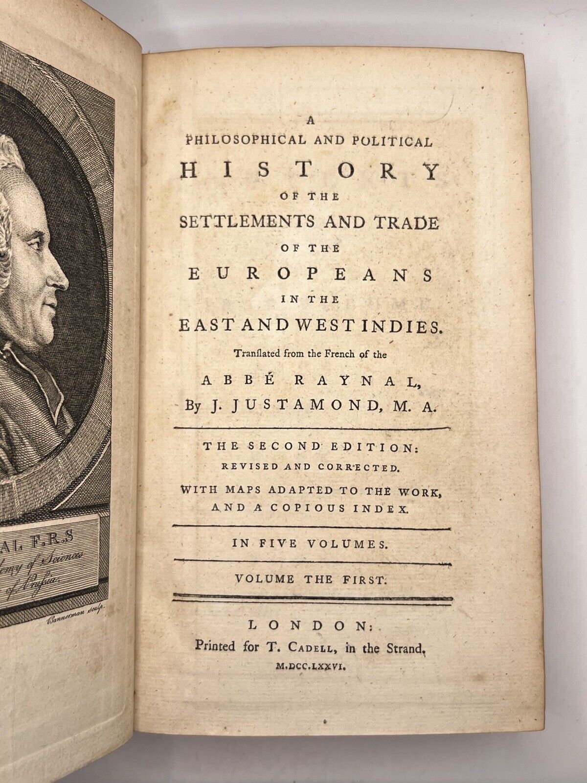
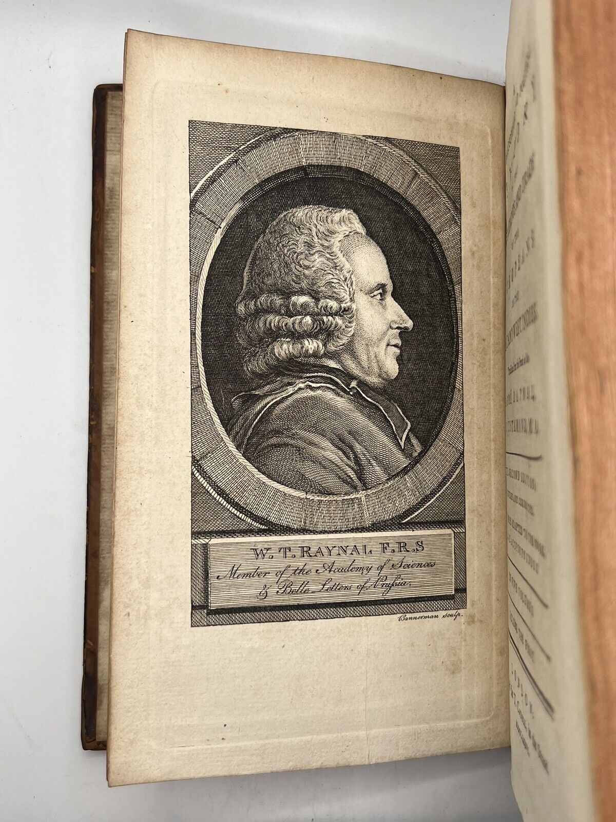
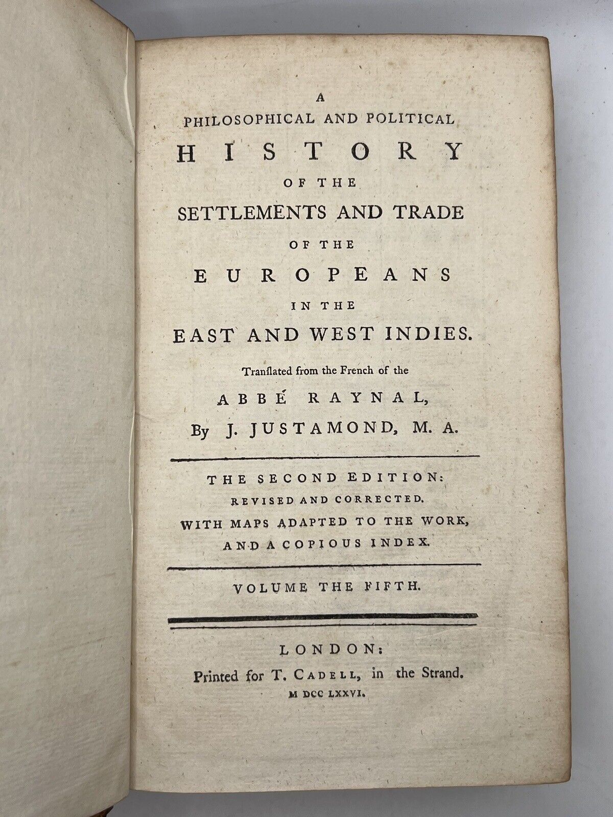
History of the Indies & North America by Raynal 1776
History of the Indies & North America by Raynal 1776
Couldn't load pickup availability
Size: 140 x 216 mm (approx., each)
Condition:
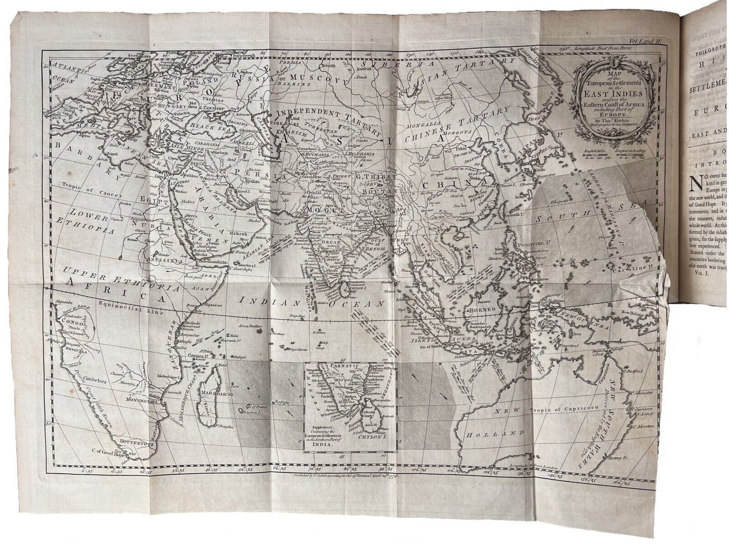
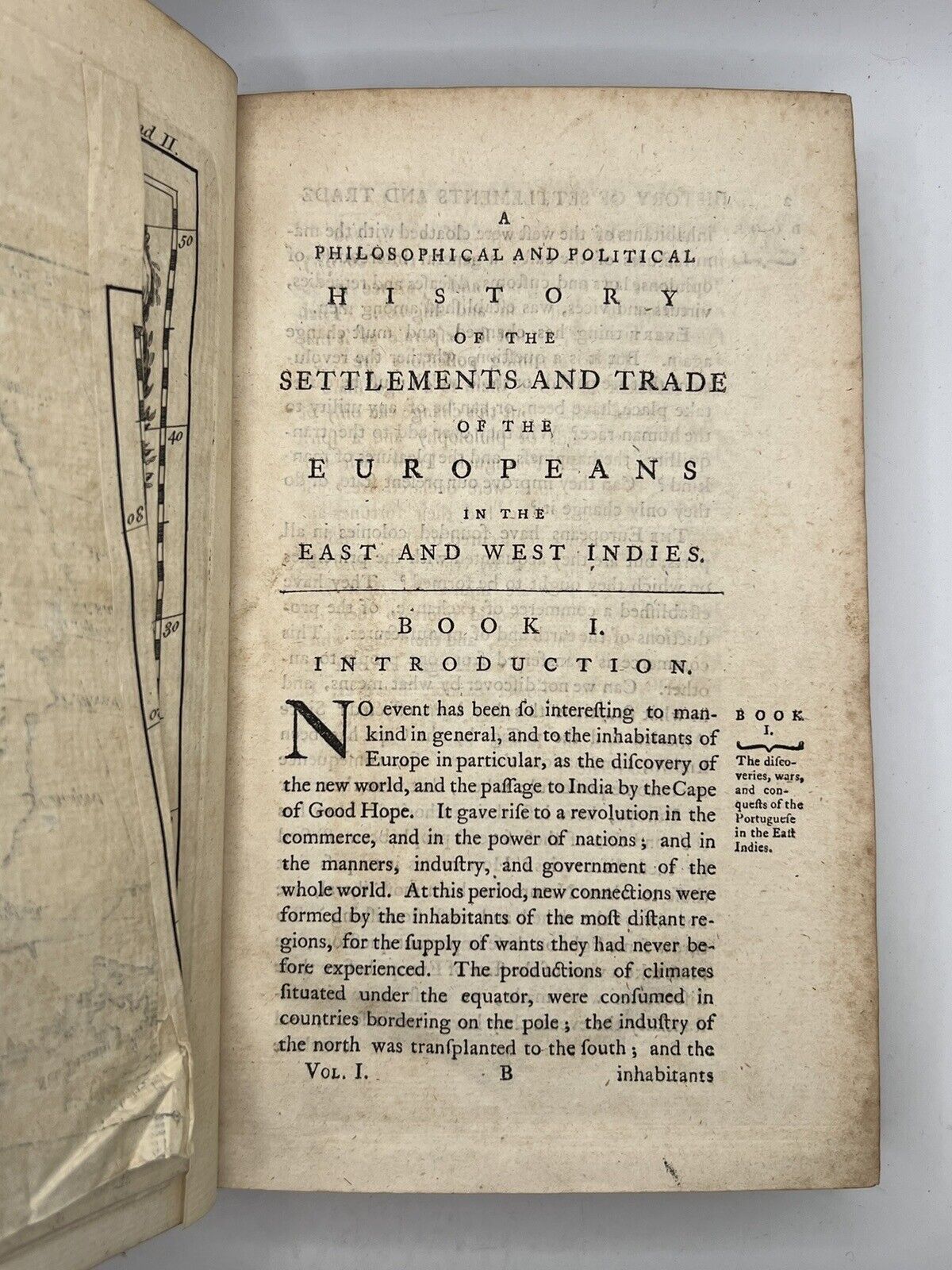
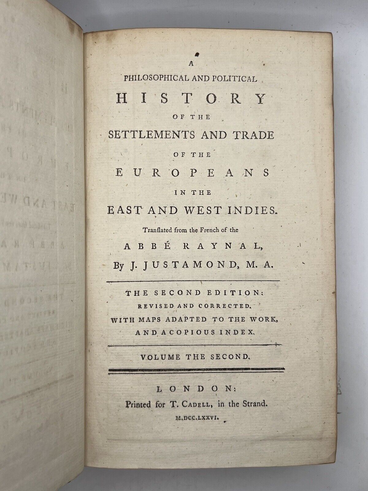
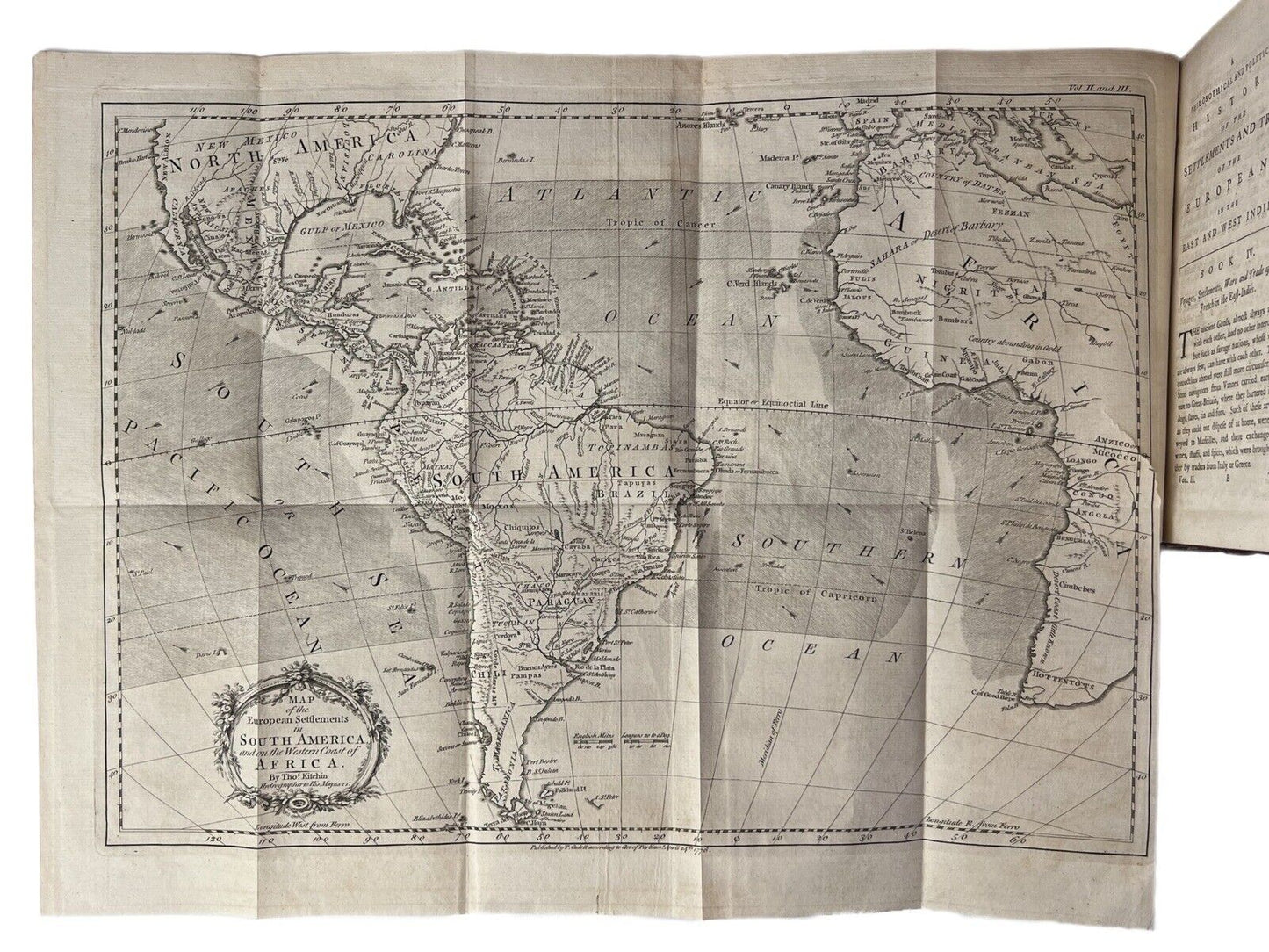
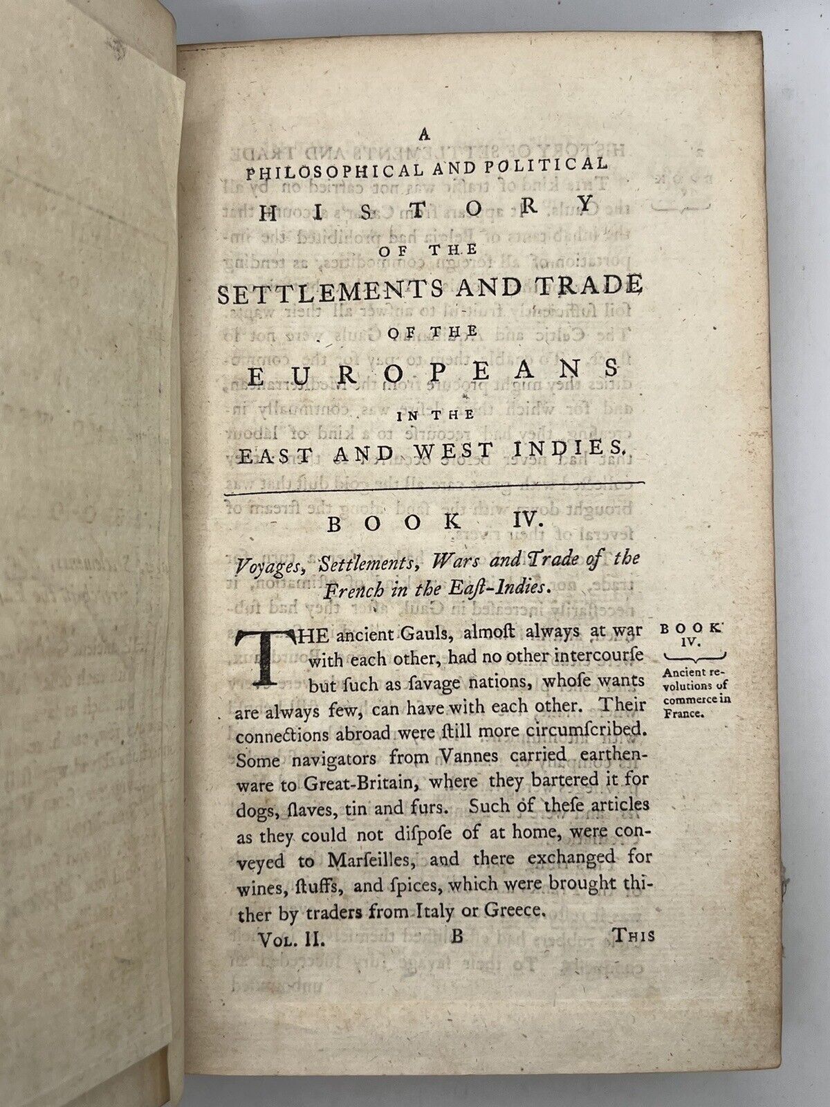
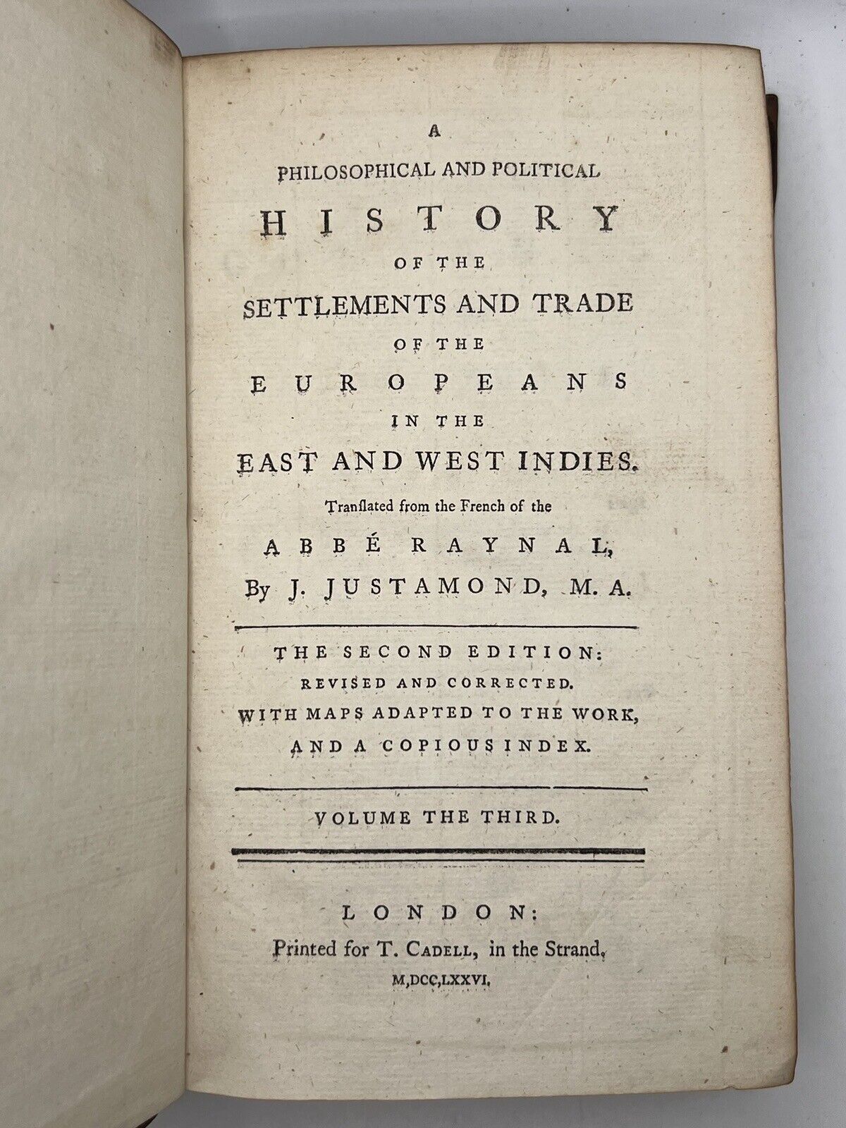
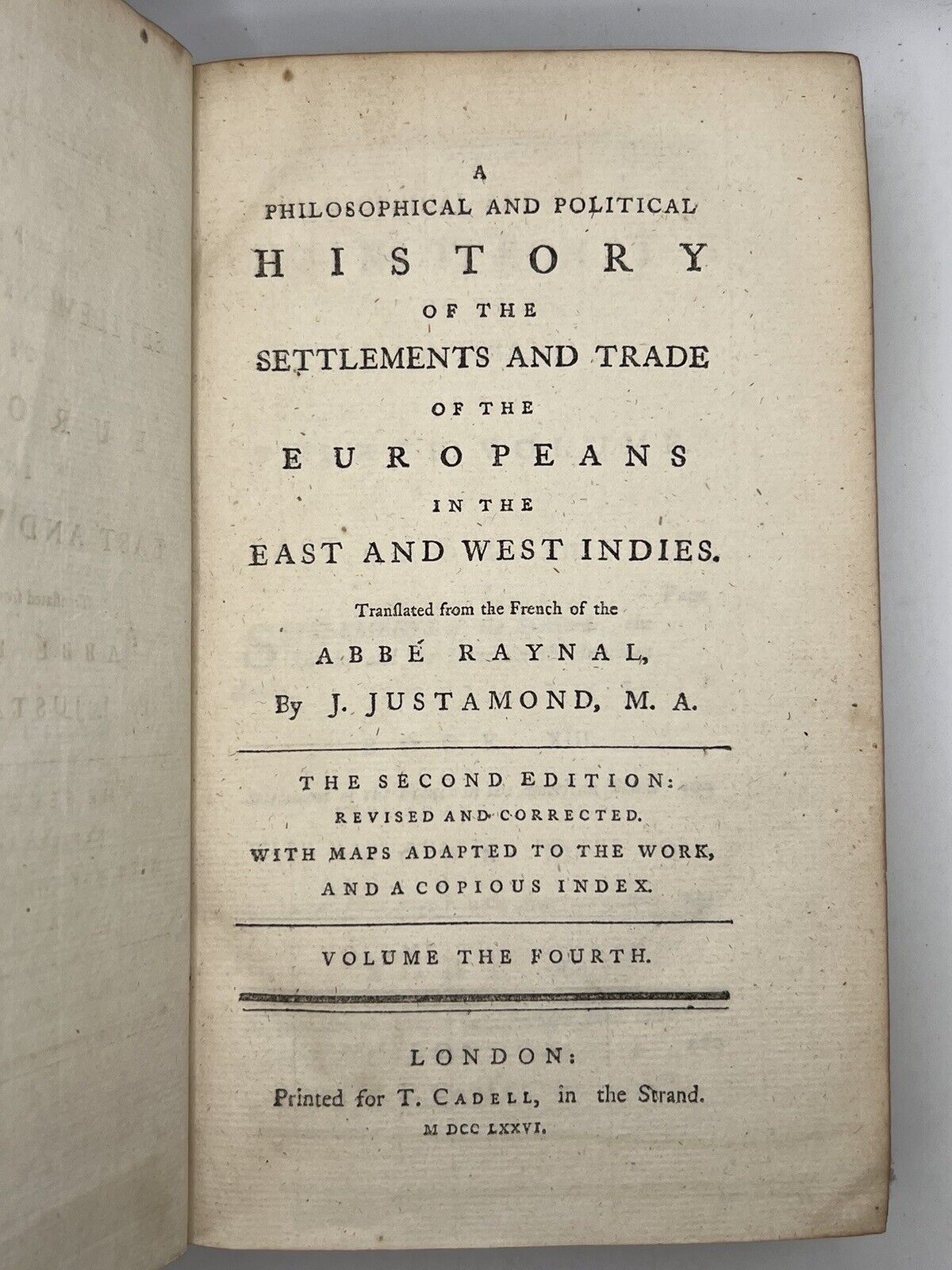
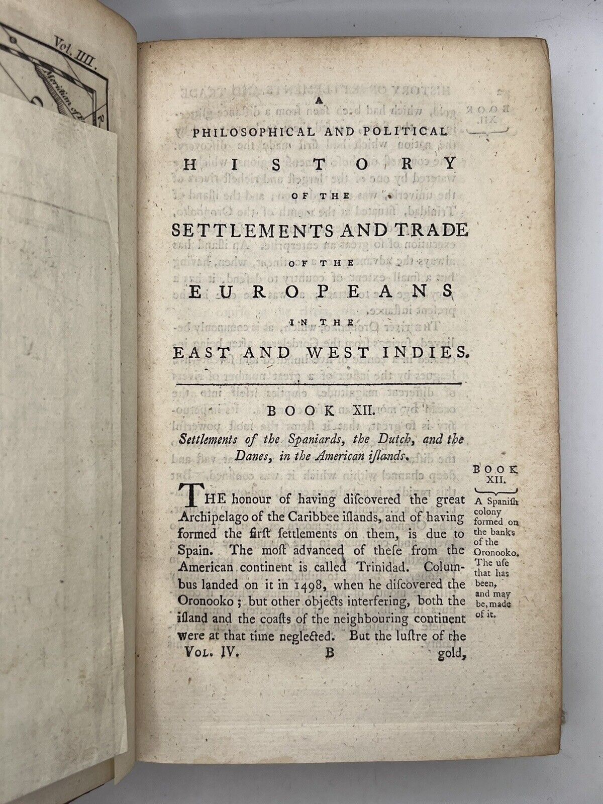
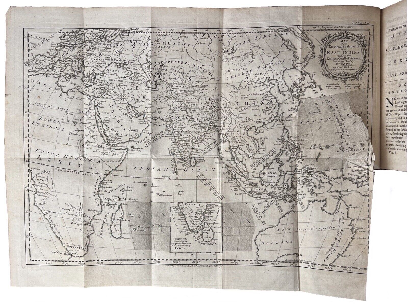
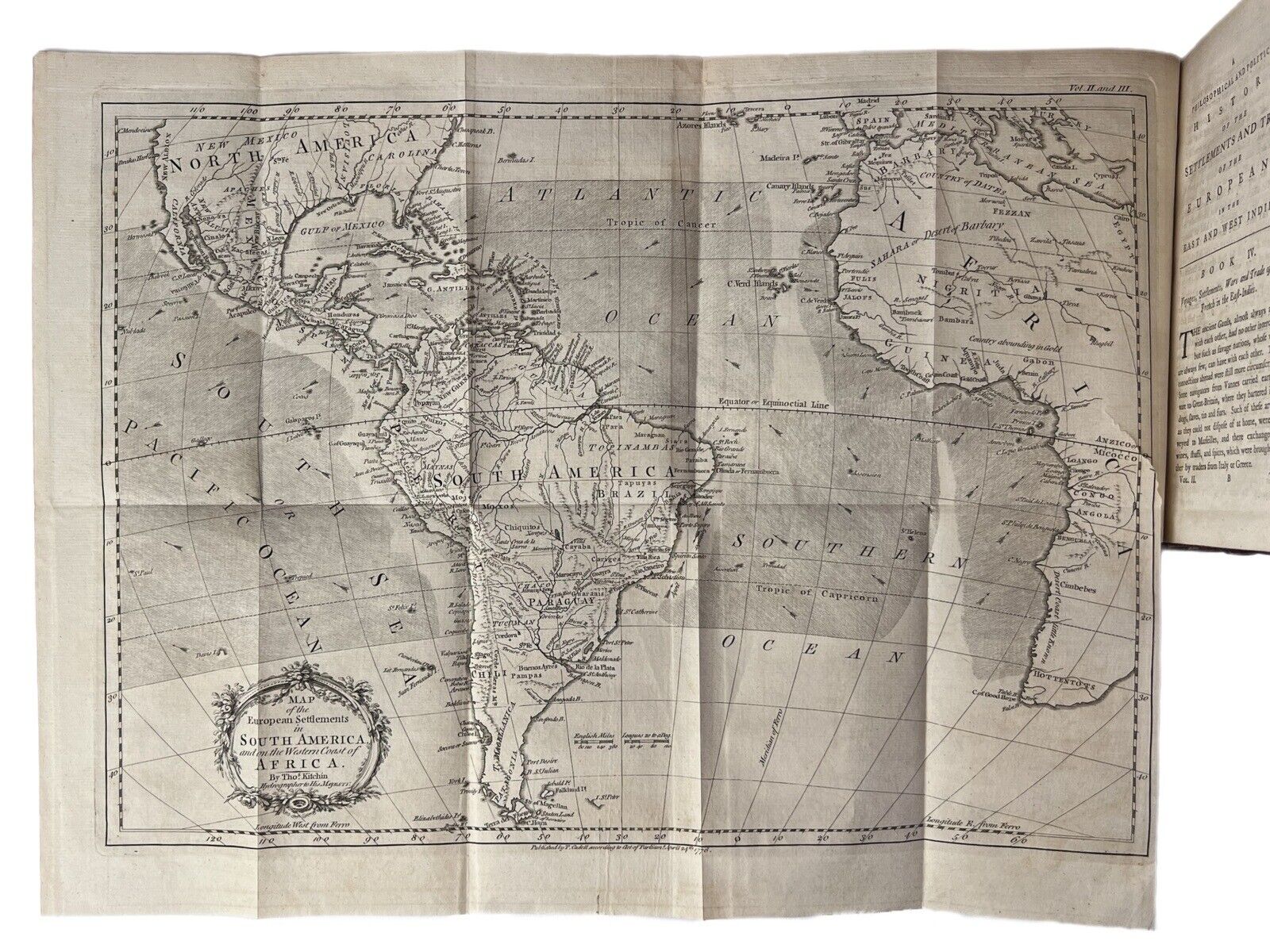
[3ff, foldout map, pp.1-486, 2pp (advertisements)]; [2ff, foldout map, pp.1-595, 1pp (advertisements)]; [2ff, pp.1-504]; [2ff, foldout map, pp.1-509, 3pp (advertisements)]; [2ff, pp.1-605, a1-c2]
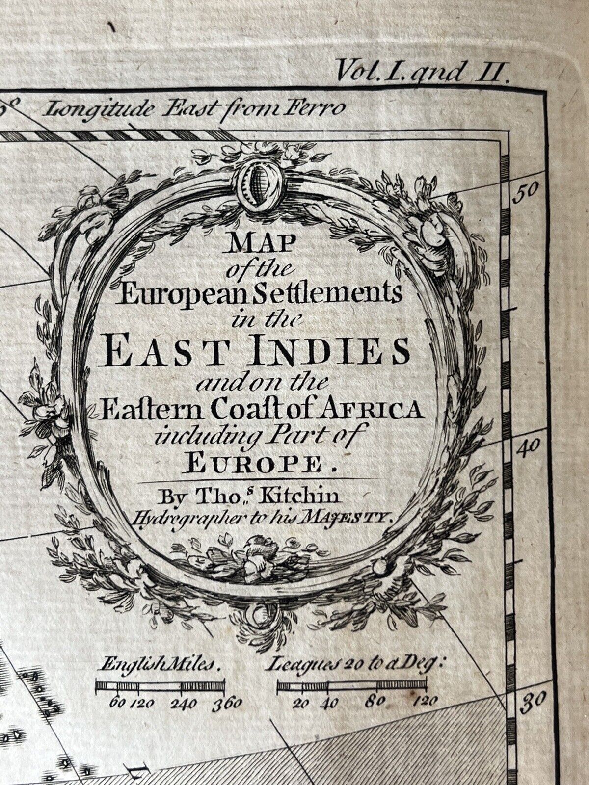
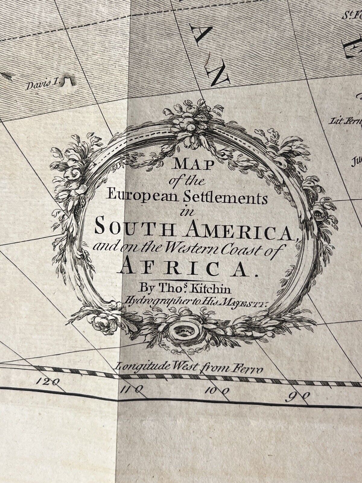
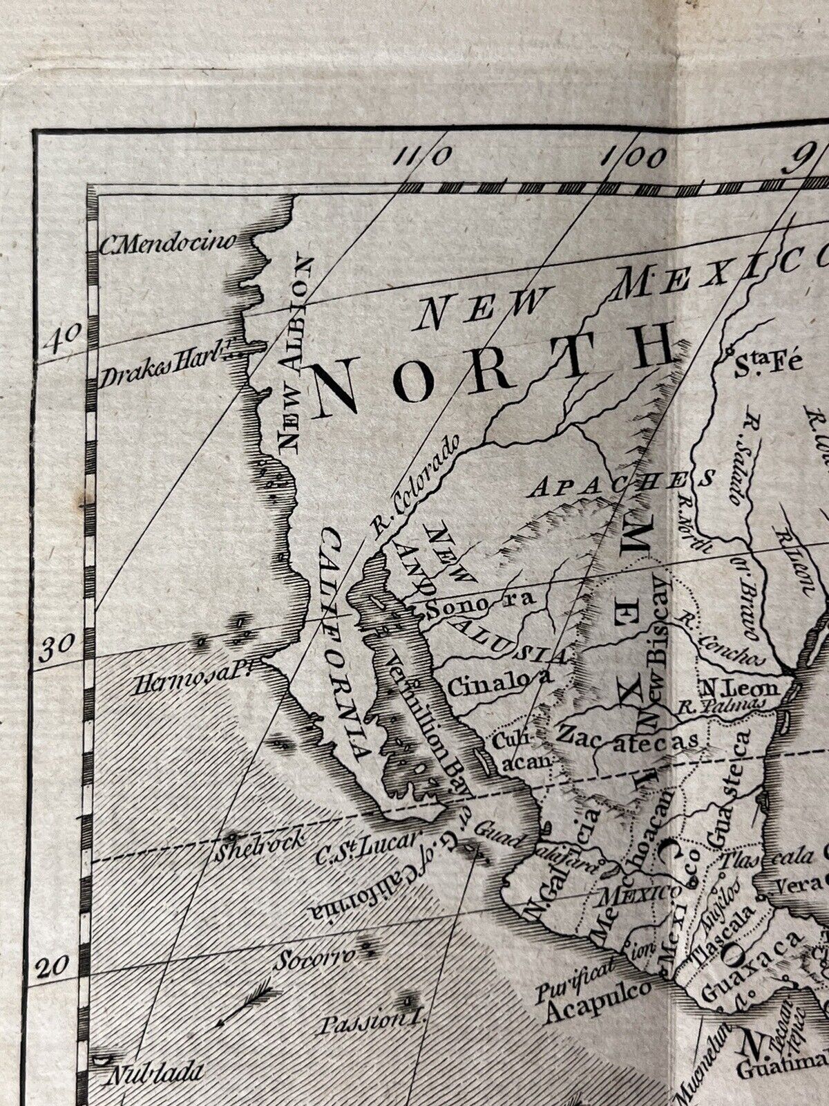
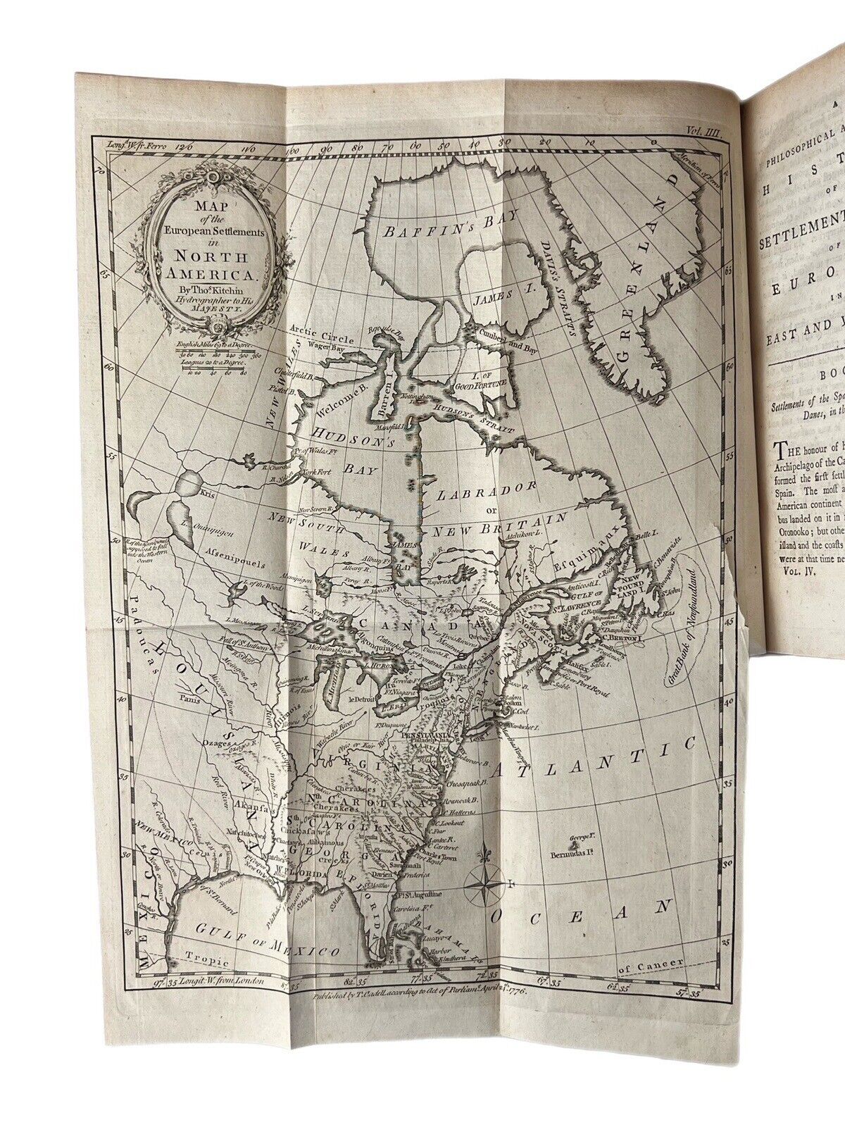
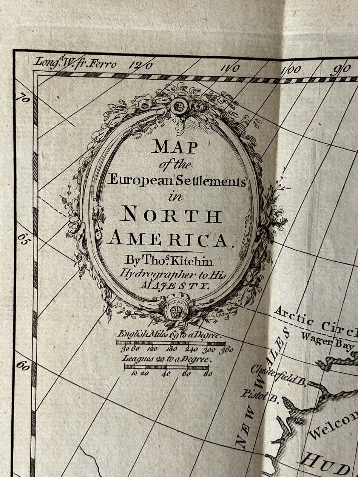
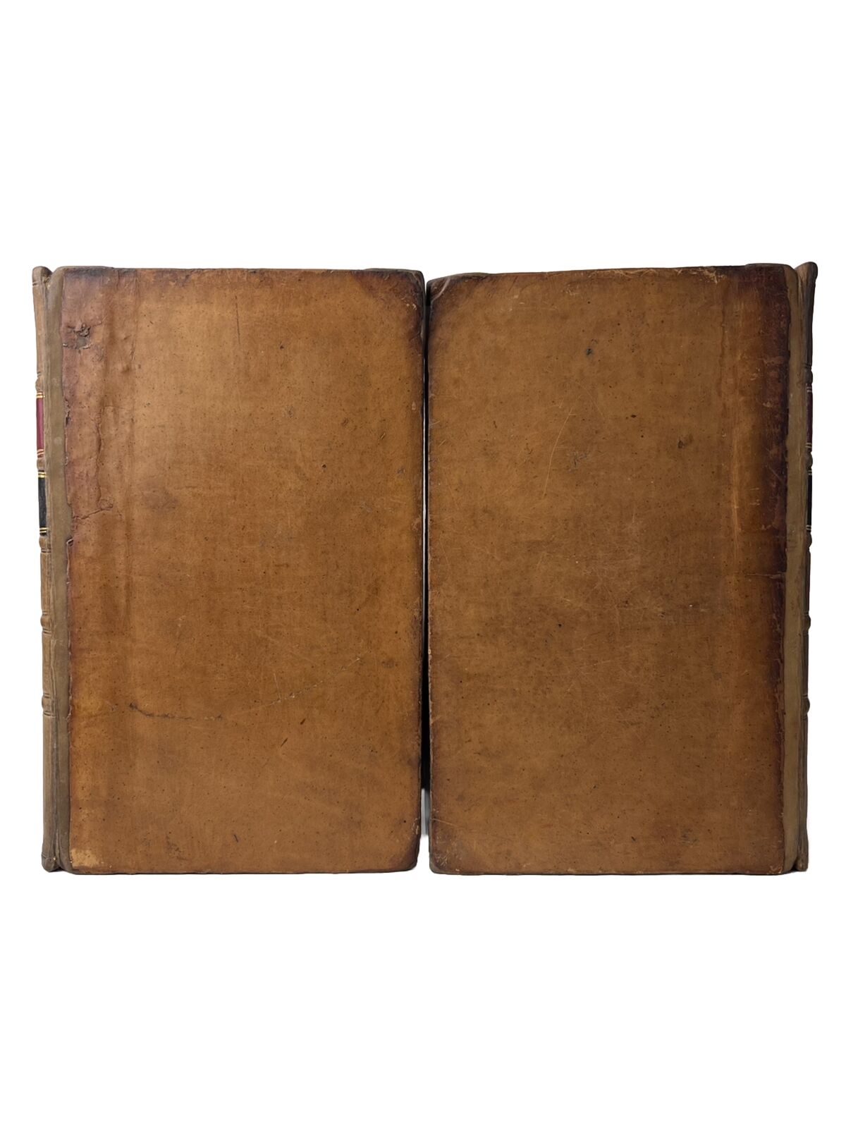
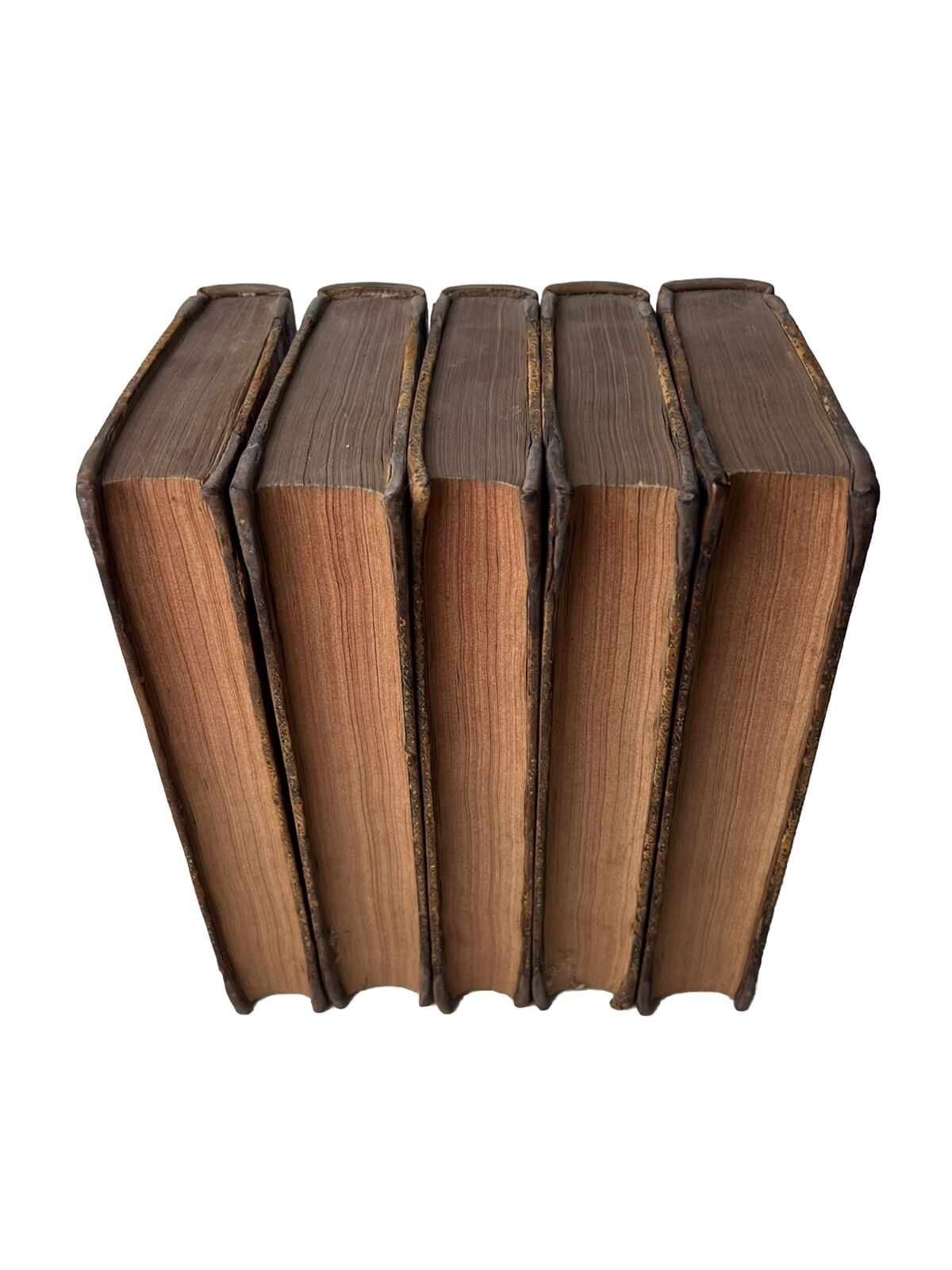
All volumes uniformly rebacked with new tooled morocco labels with the gilt date 1776 to the foot of each spine, also with some repair to the corners in a similar very neat manner and thus very attractive on the shelf. A bit of discolouration to the fifth volume and less so to the others, but this is not particularly aesthetically intrusive. All boards securely attached with hinges fine. No shelf lean as the set is placed on the shelf, but with a slight lean to the fourth volume when placed separately. Boards with some wear but generally very good. Rear board of the fourth volume with a small dented area with some loss to the leather which does not affect the text block. 3 foldout maps (of 4), lacking the map called for in volume three. First and second volume's rather large foldout maps torn slightly at the join to the book but with the majority of the maps in excellent condition, third smaller map in the fourth volume in near fine condition. No foxing. Internally very clean throughout with edge toning to the endpapers as commensurate with the calf bindings.
Overall an excellent set of this scarce book, rare with any of the maps intact with the set.
[Sabin 68088;
OCLC 1050718031 (describing the later third edition from John Adams' library)].

