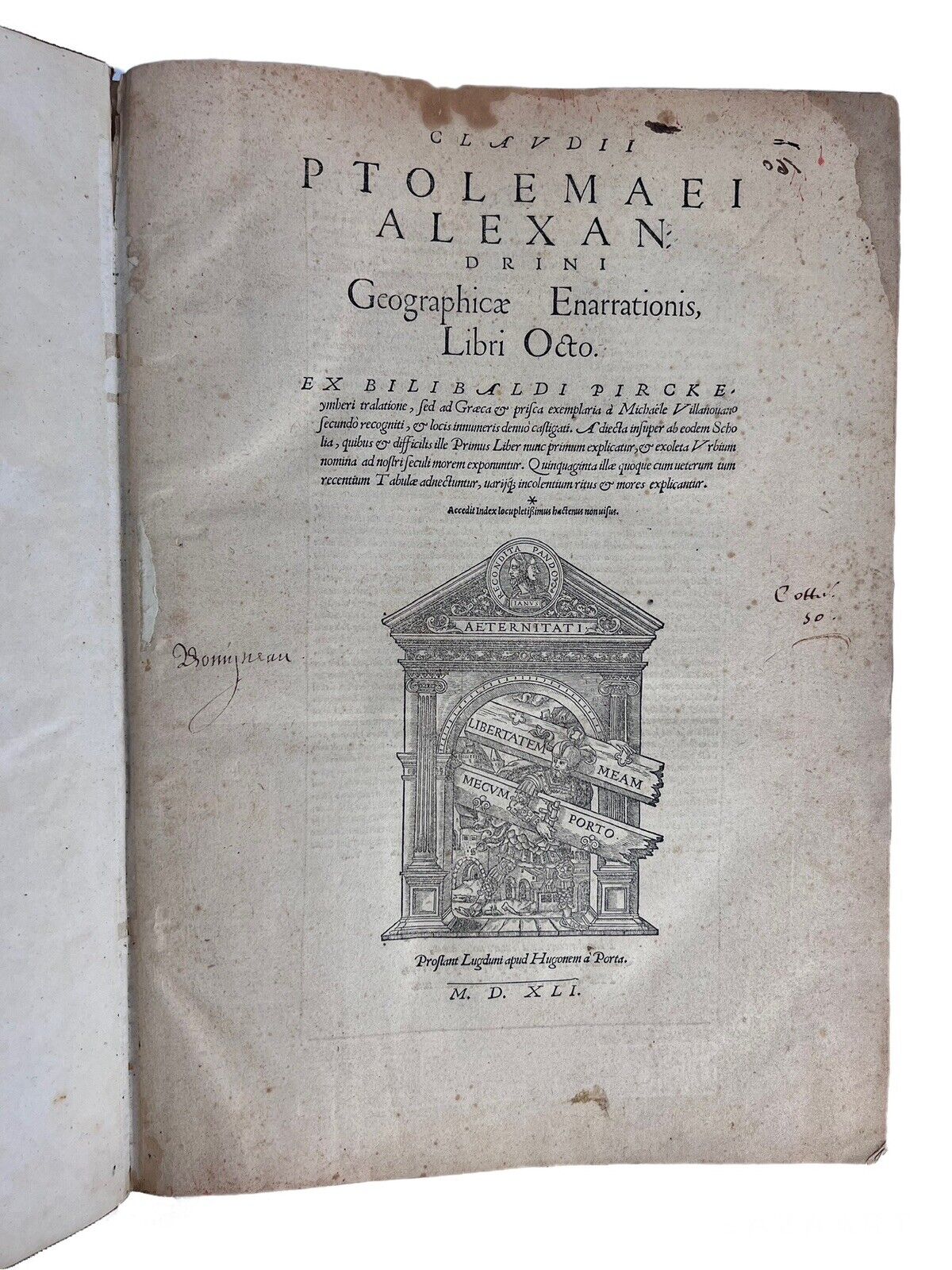
Ptolemy's Geographica 1541
Ptolemy's Geographica 1541
Couldn't load pickup availability
Size: 28 x 39.5 cm (approx.)
[Shirley T.PTOL-7h; USTC 112020; von Gultingen VI, pp.146]
Condition:
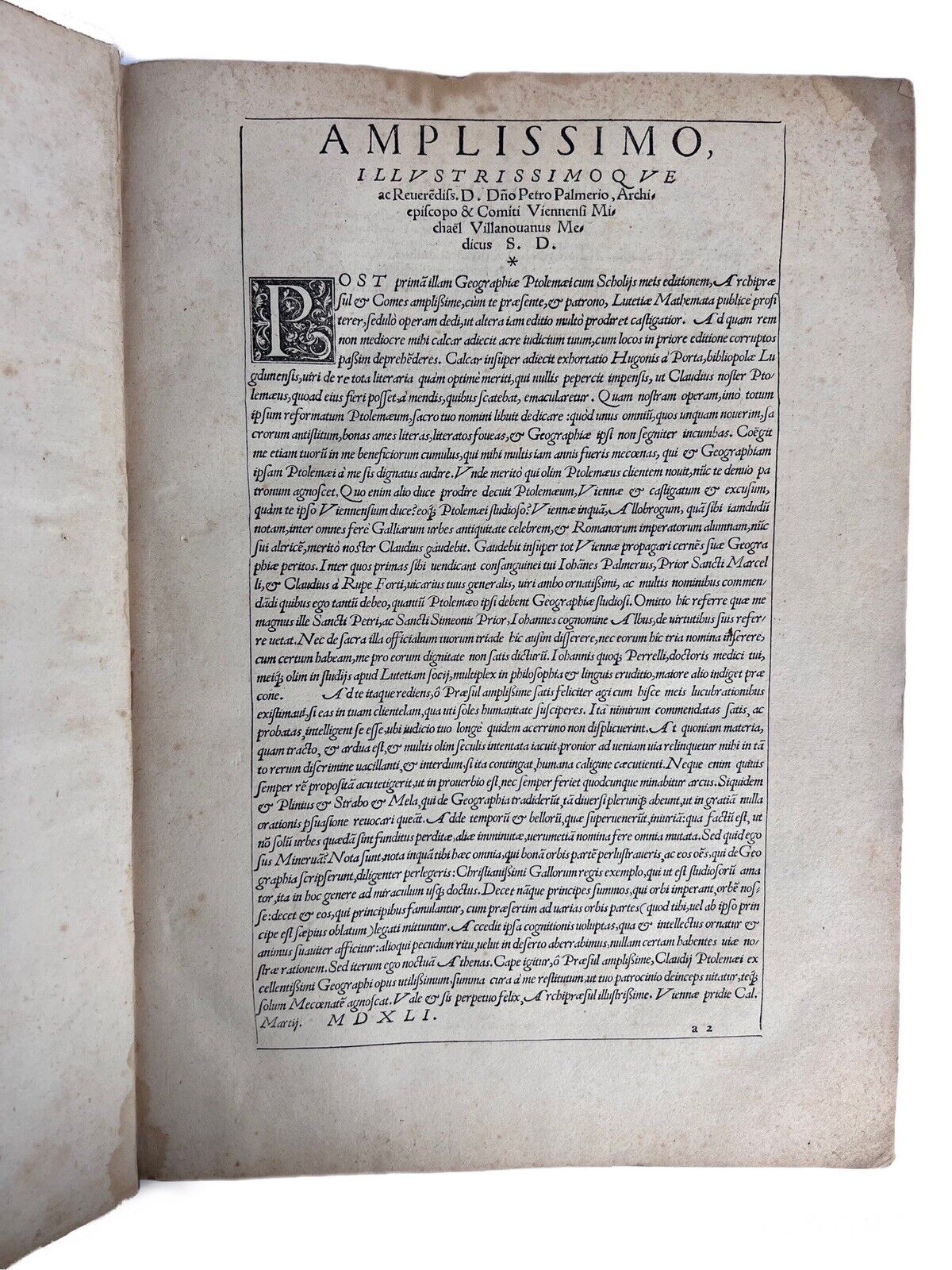
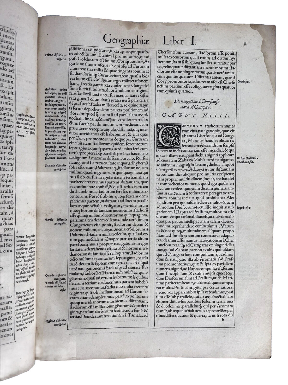
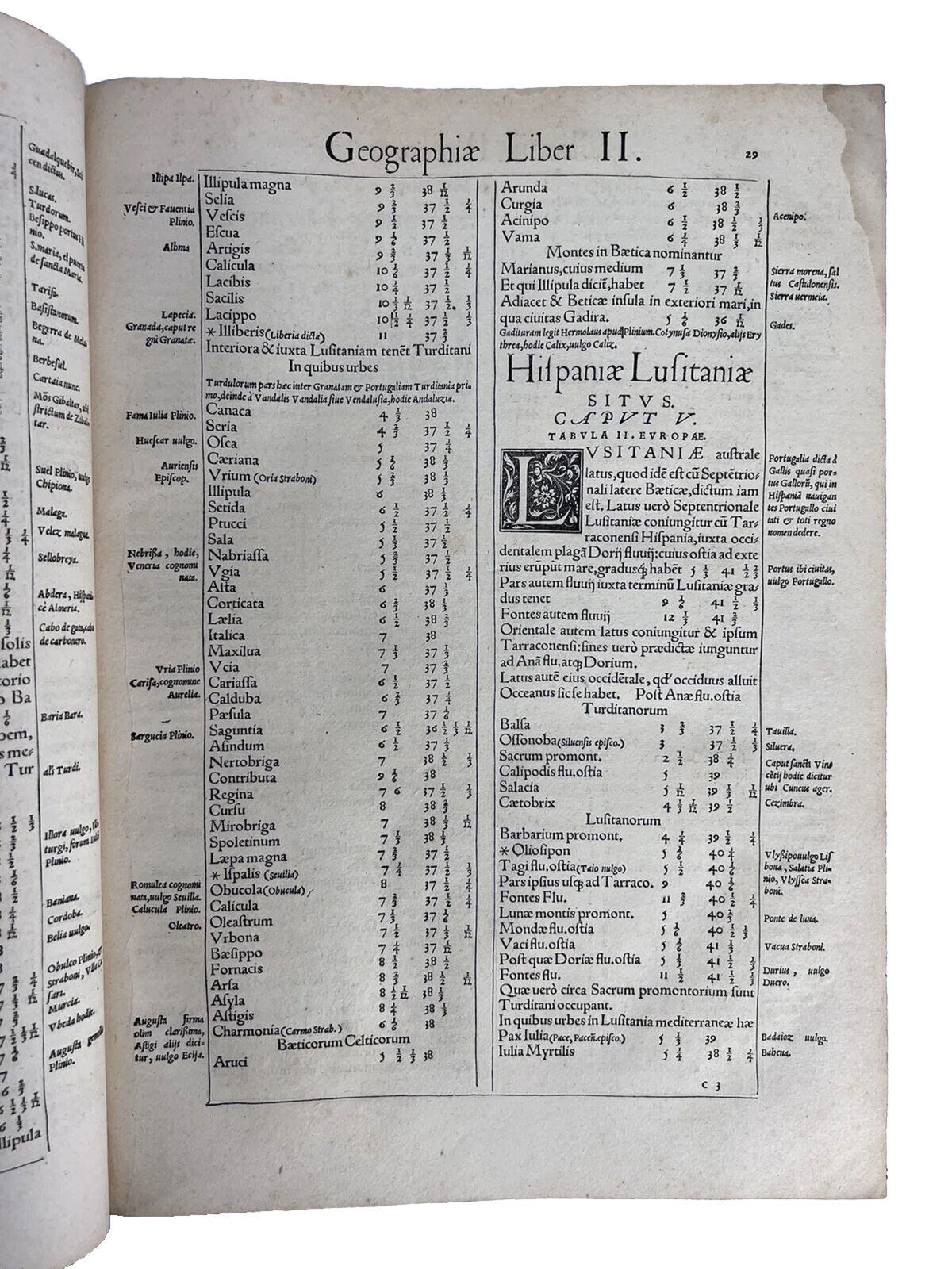
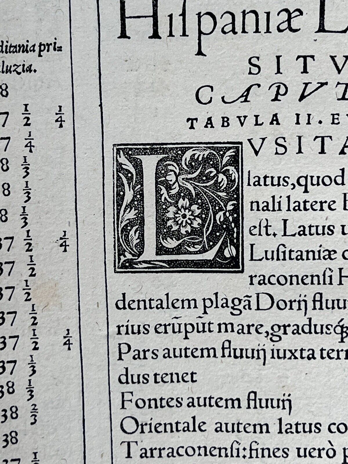
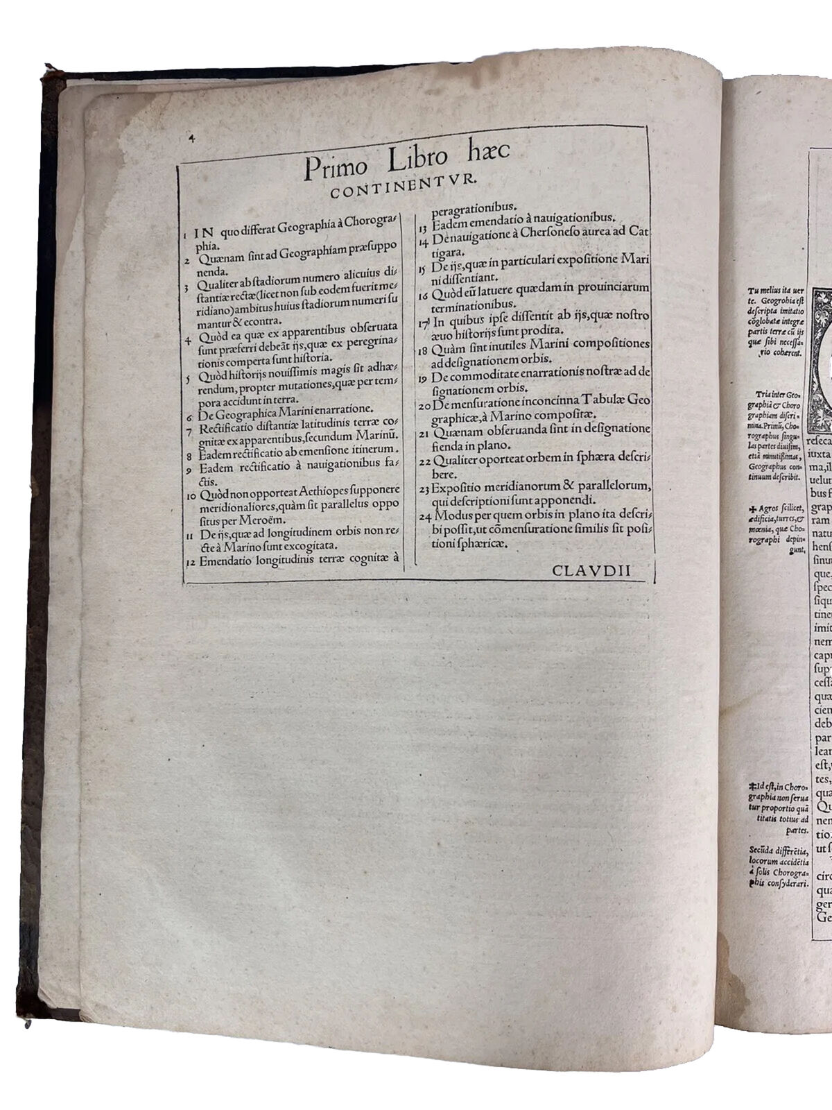
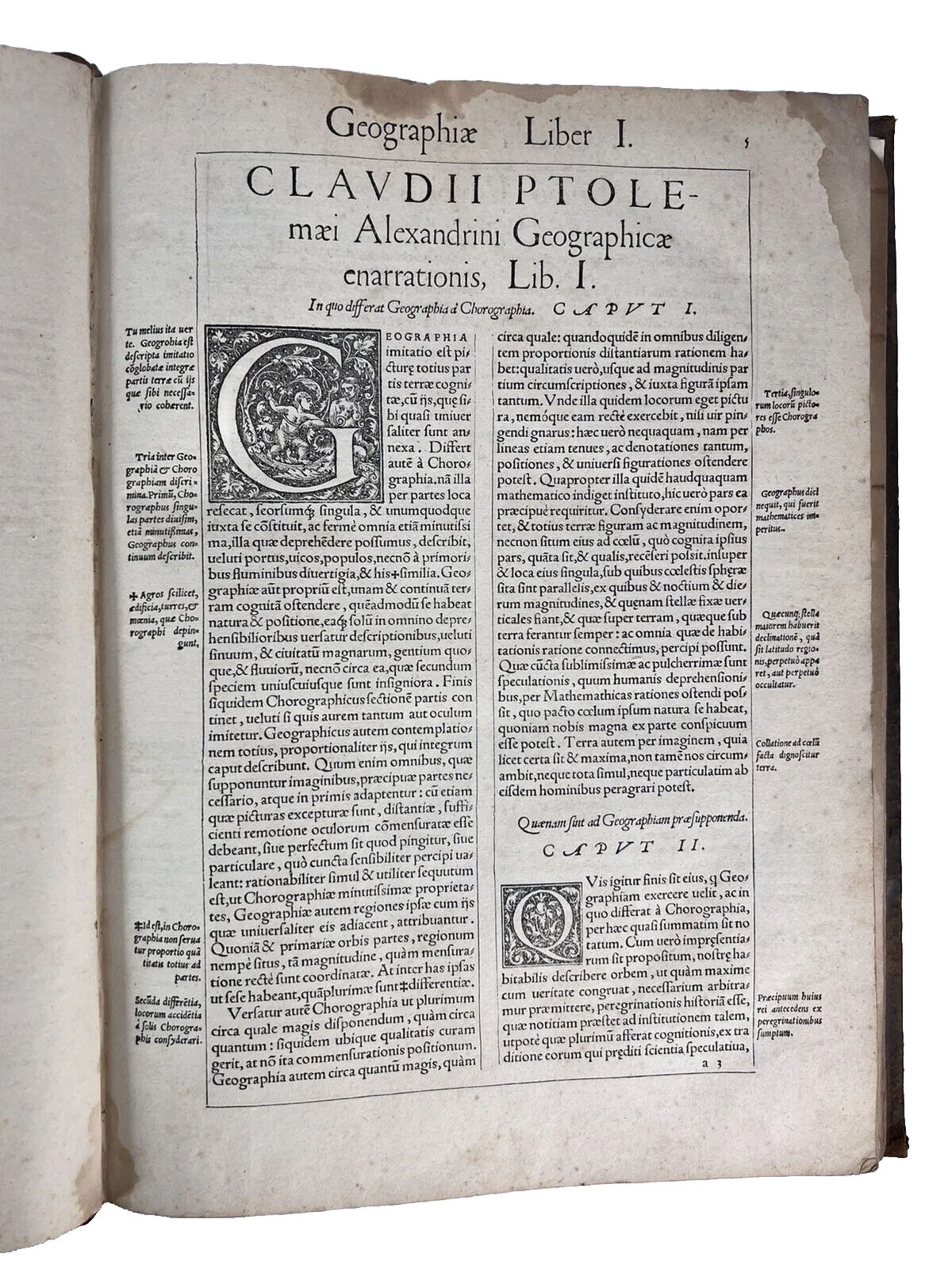
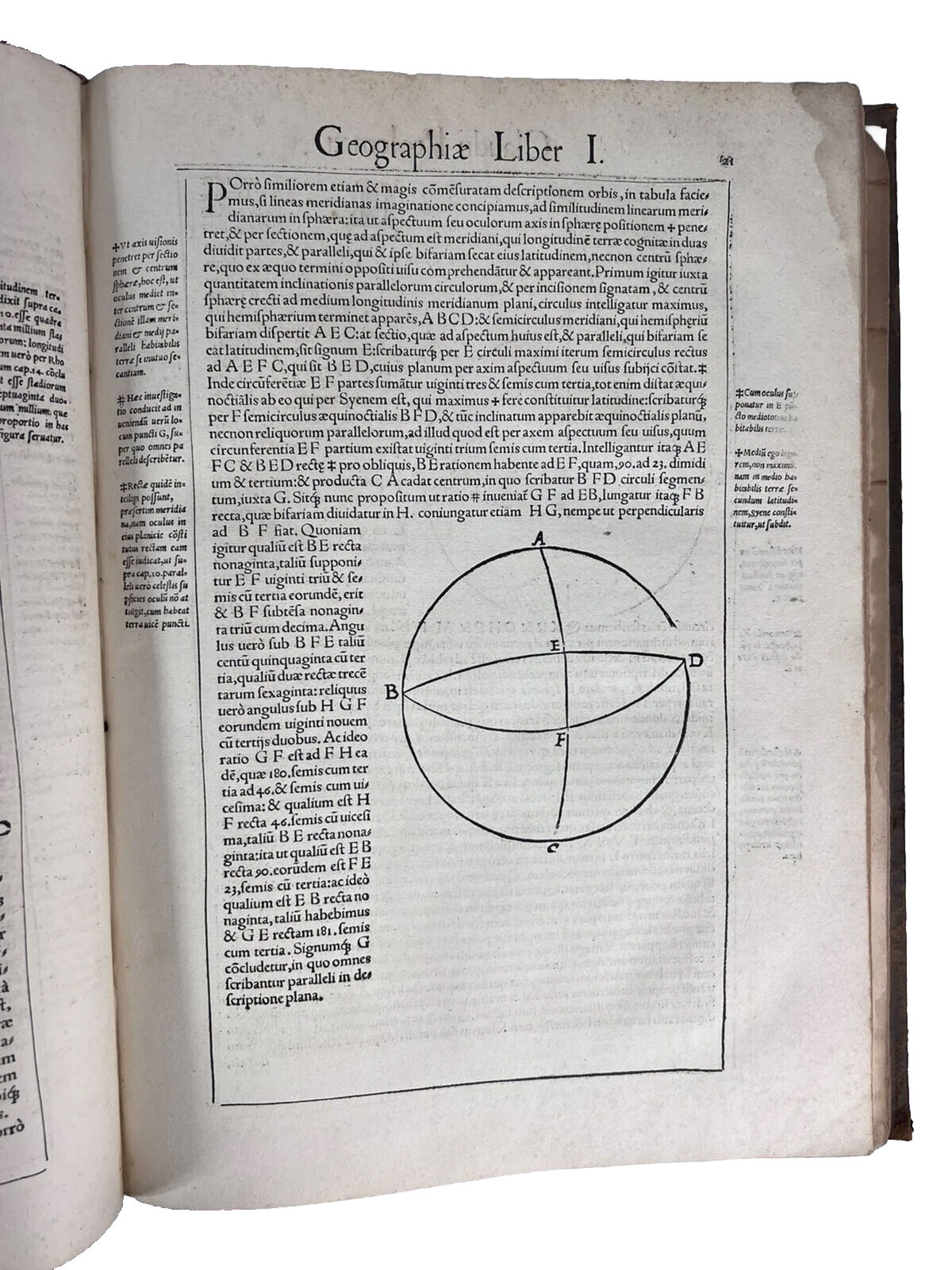
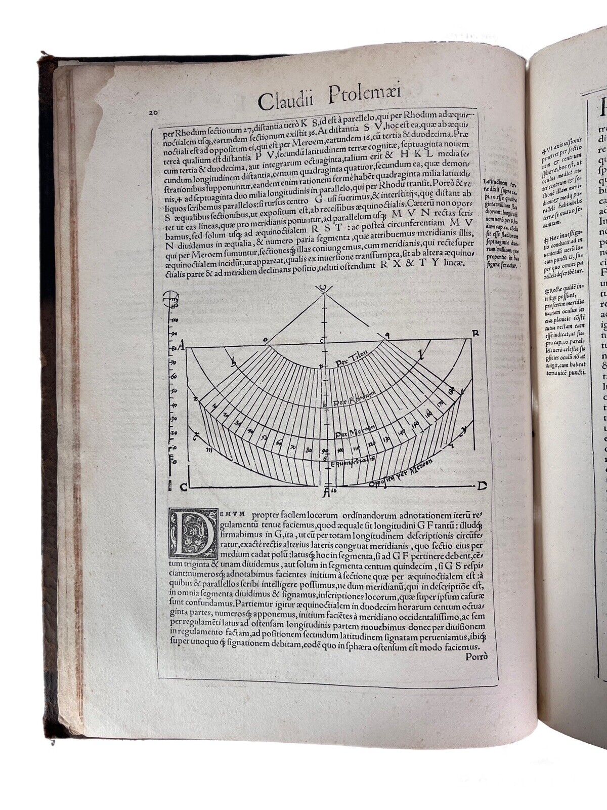
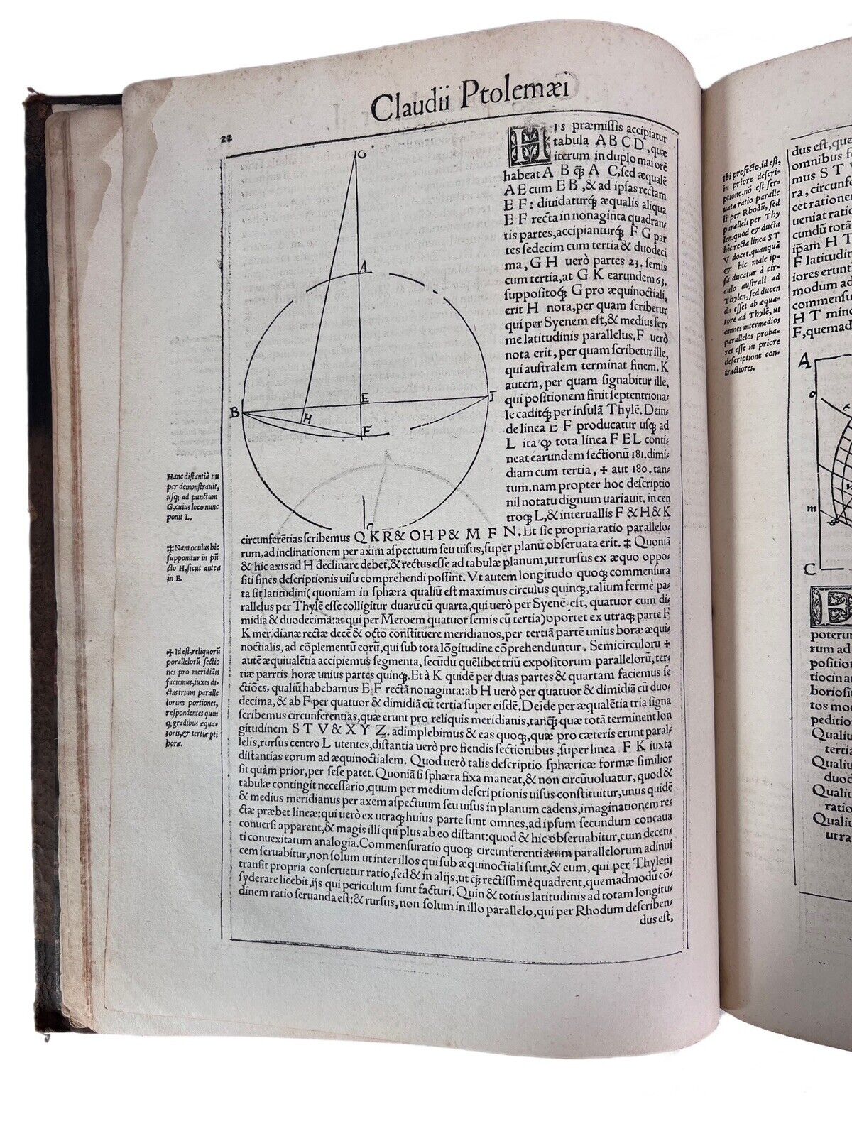
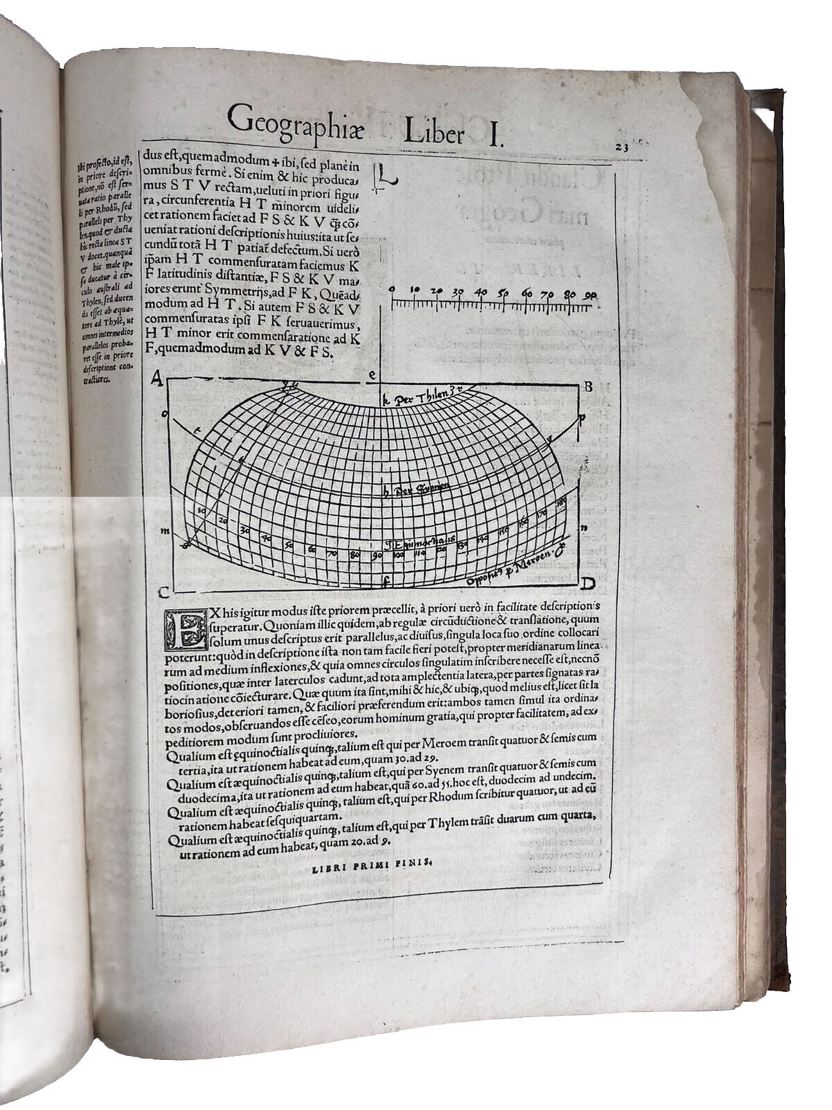
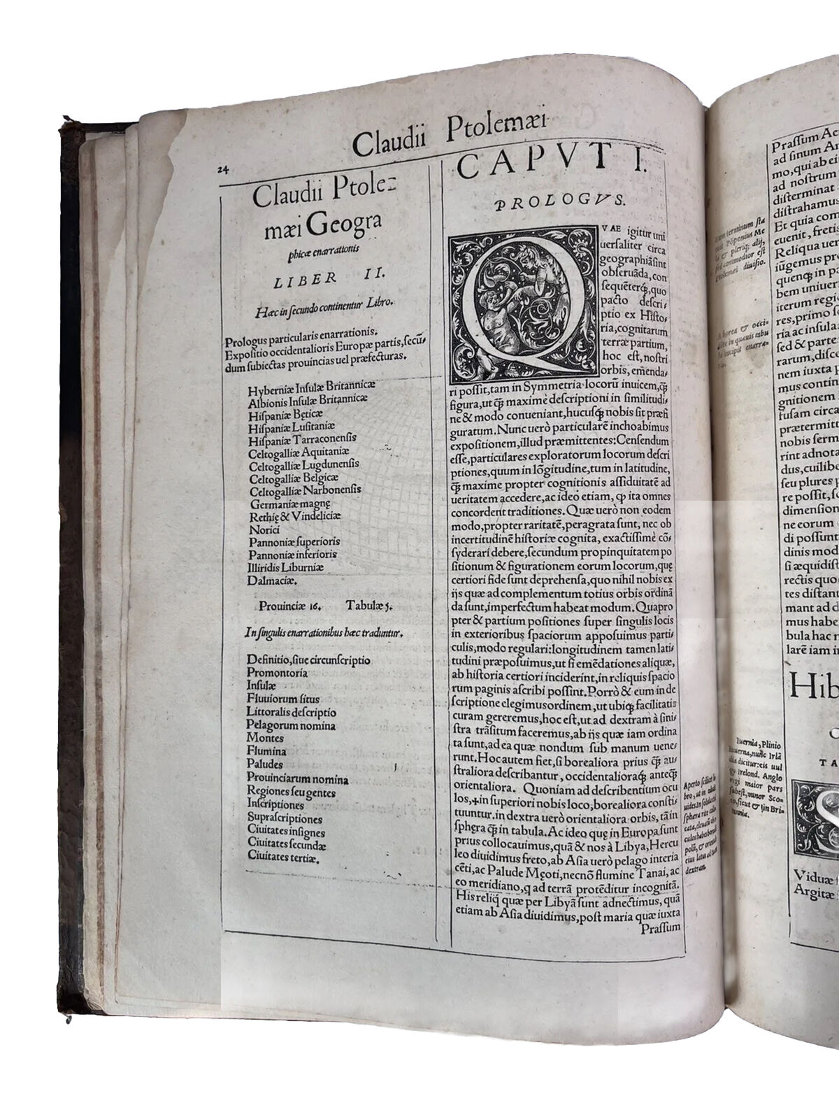
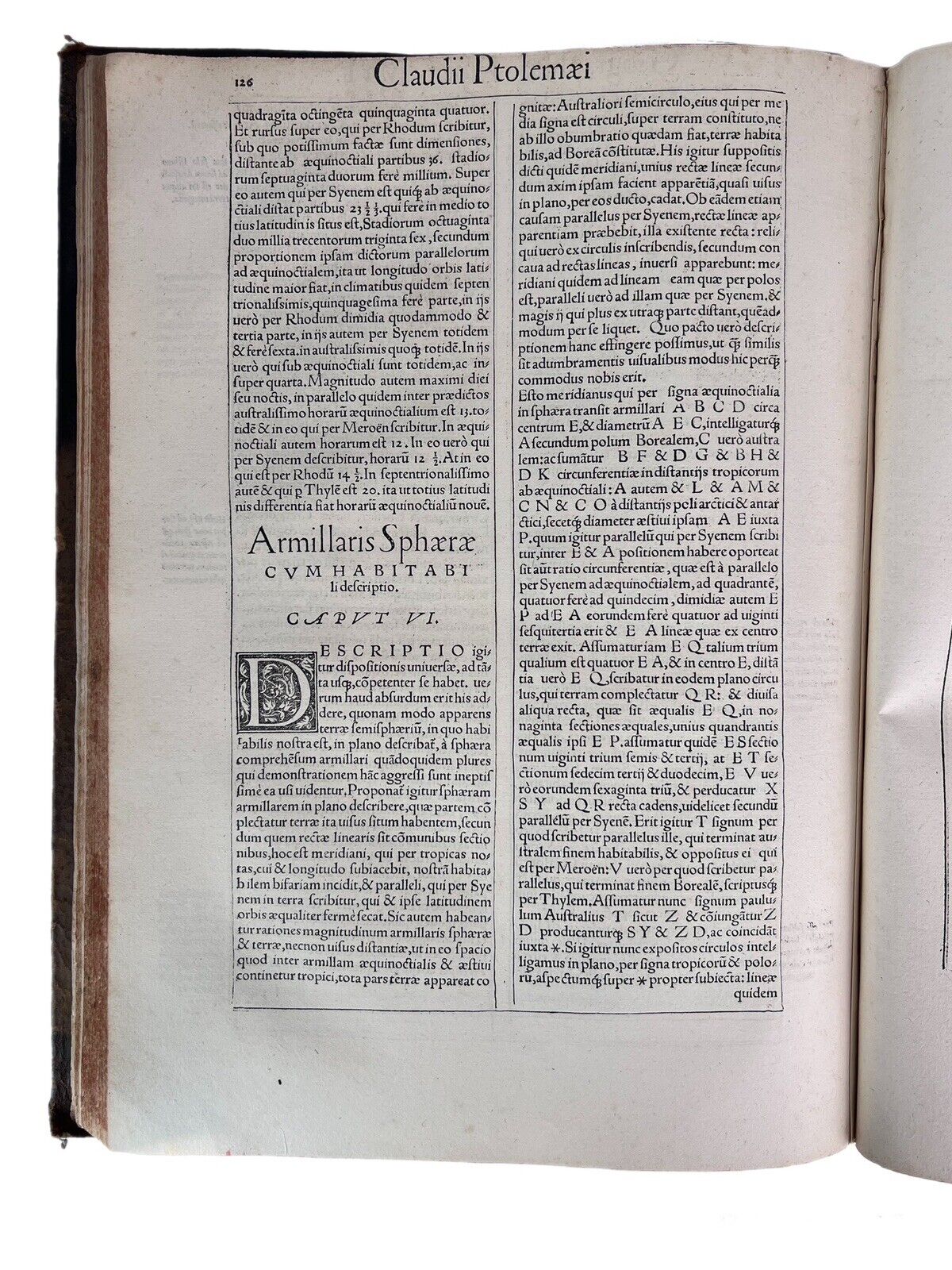
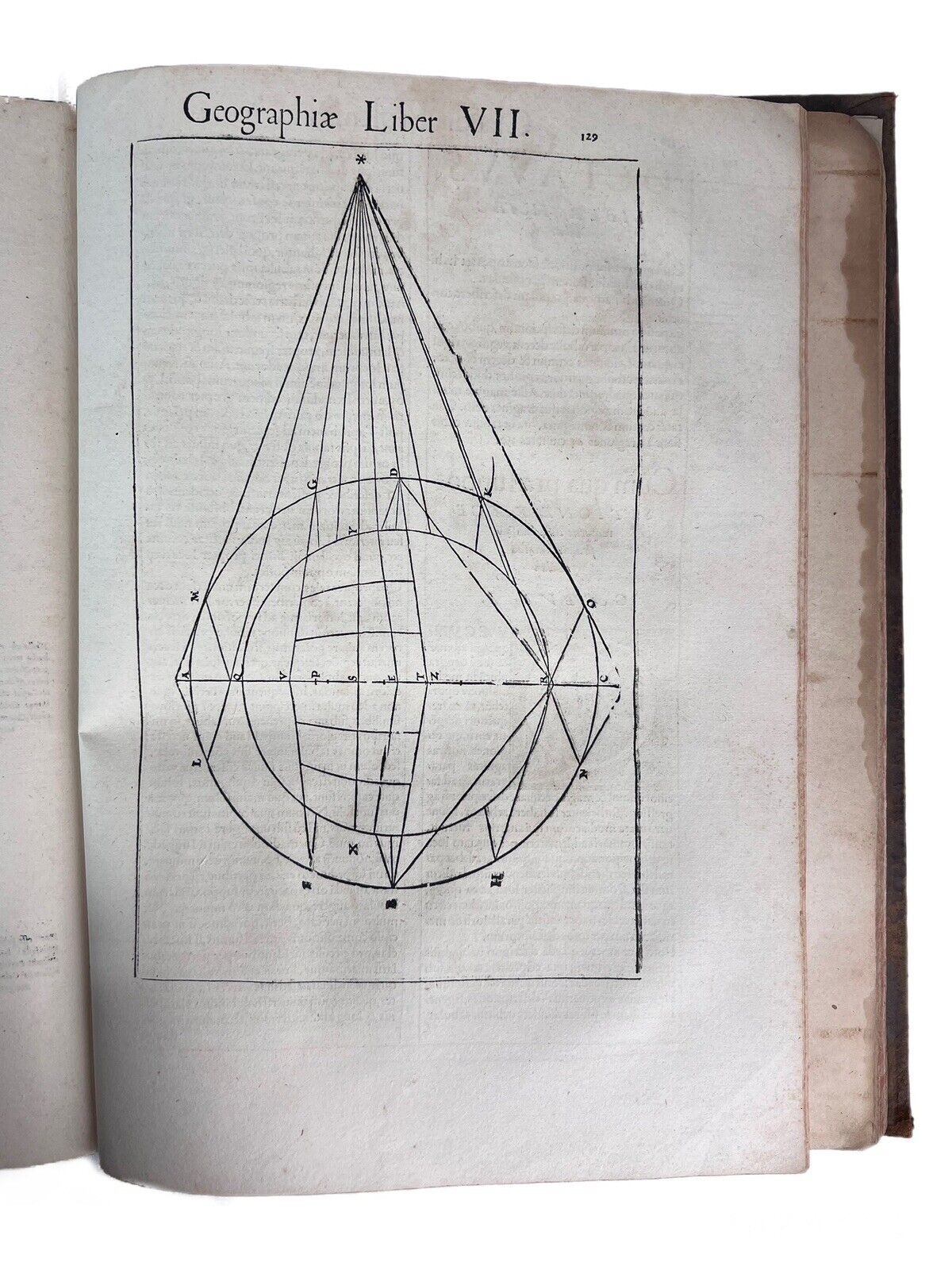
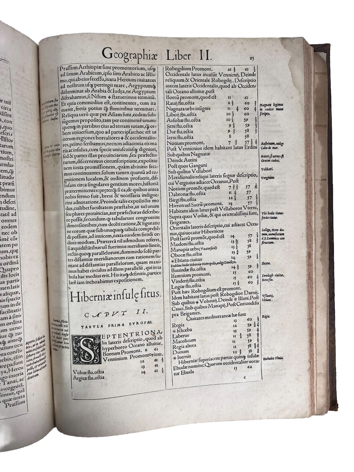
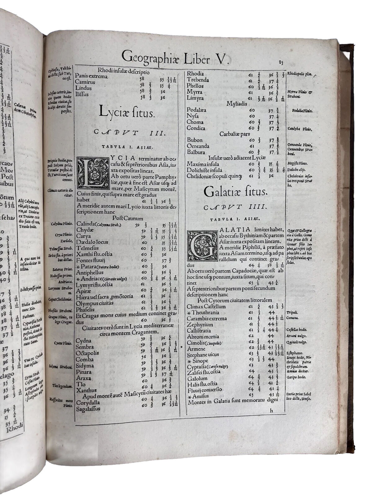
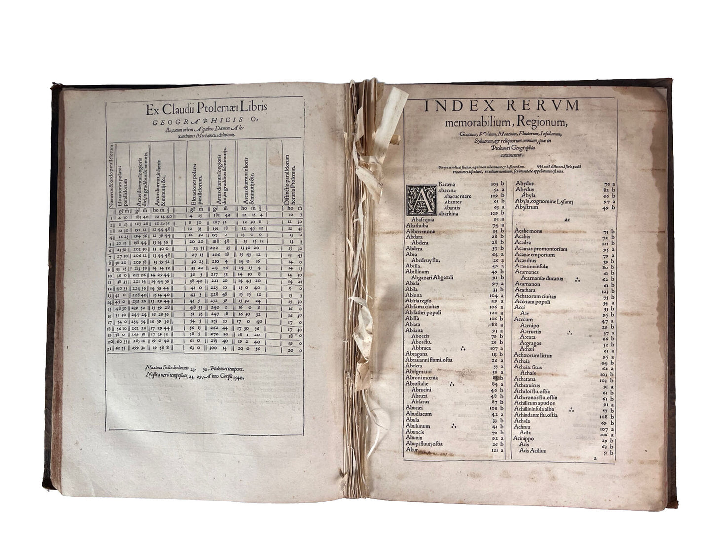
Text with four large woodcut diagrams and two full page woodcuts of a diagram and armillary sphere showing the projection of the 12 winds by Albrecht Durer. This example has two of the three parts to this book, containing the complete text in 149pp and the (complete) substantial index at the rear [A1-H6, colophon], but lacking the maps as unfortunately typical as these were often removed to be sold separately and are often found for sale individually. The stubs of the maps are present between the two sections, some with a few letters of text remaining.
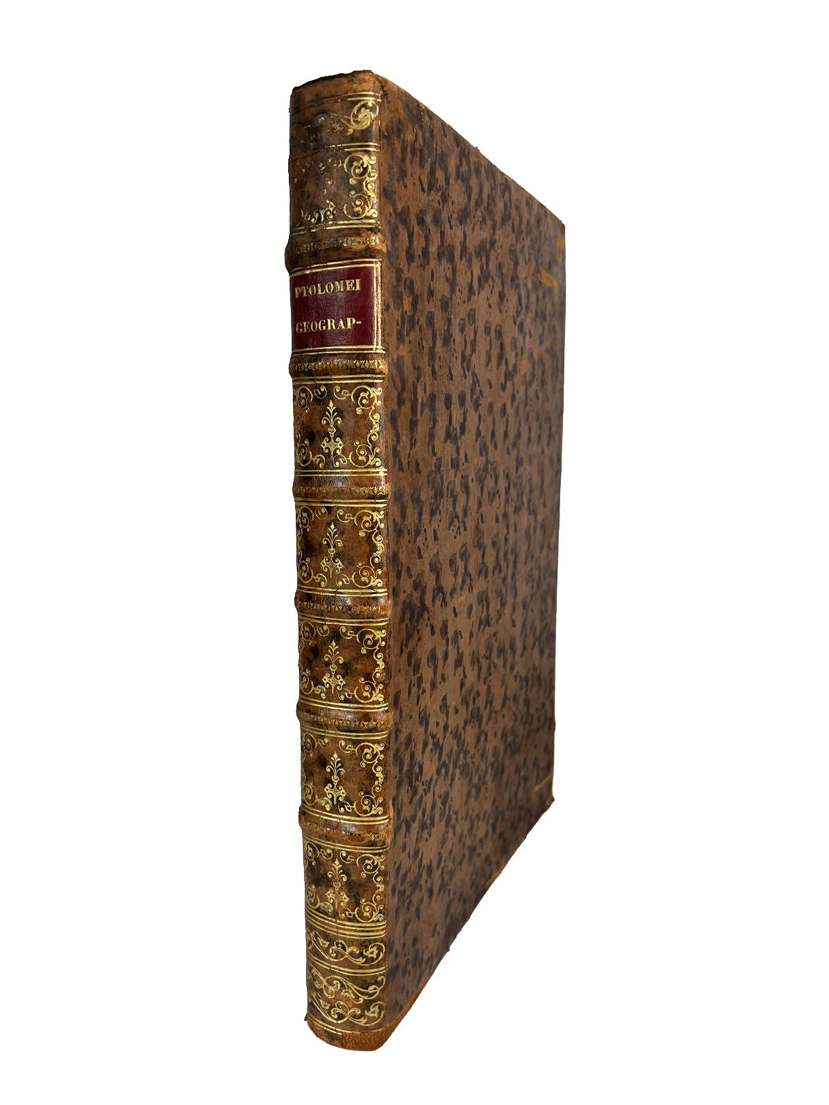
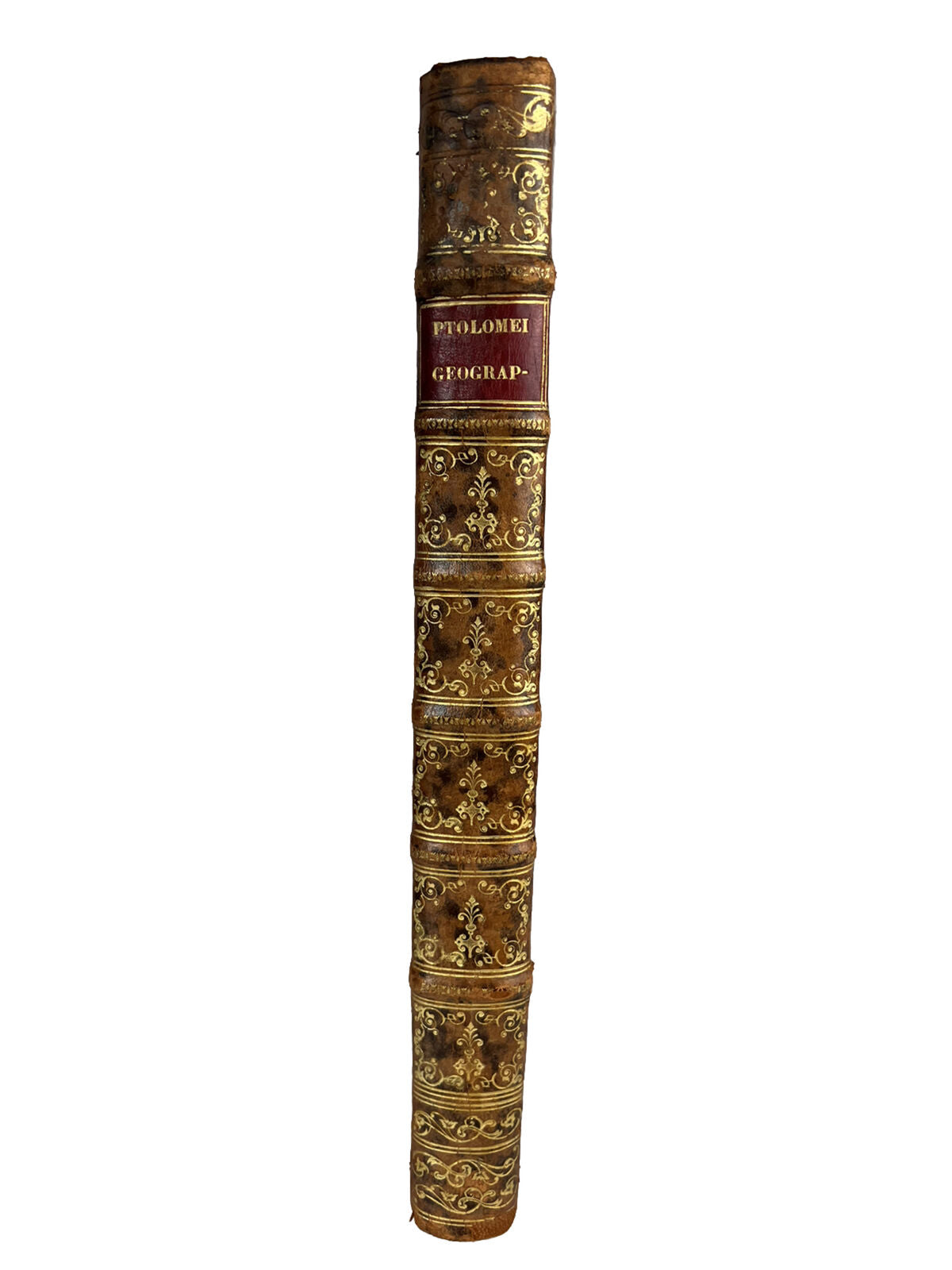
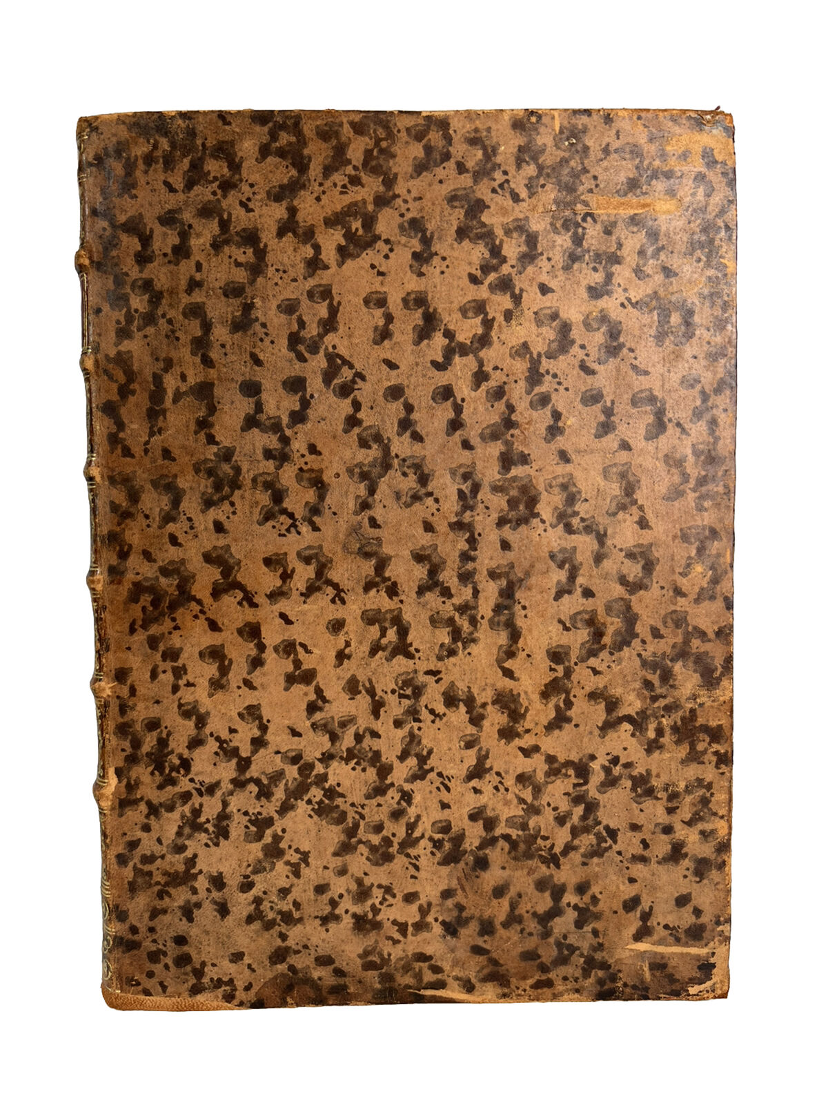
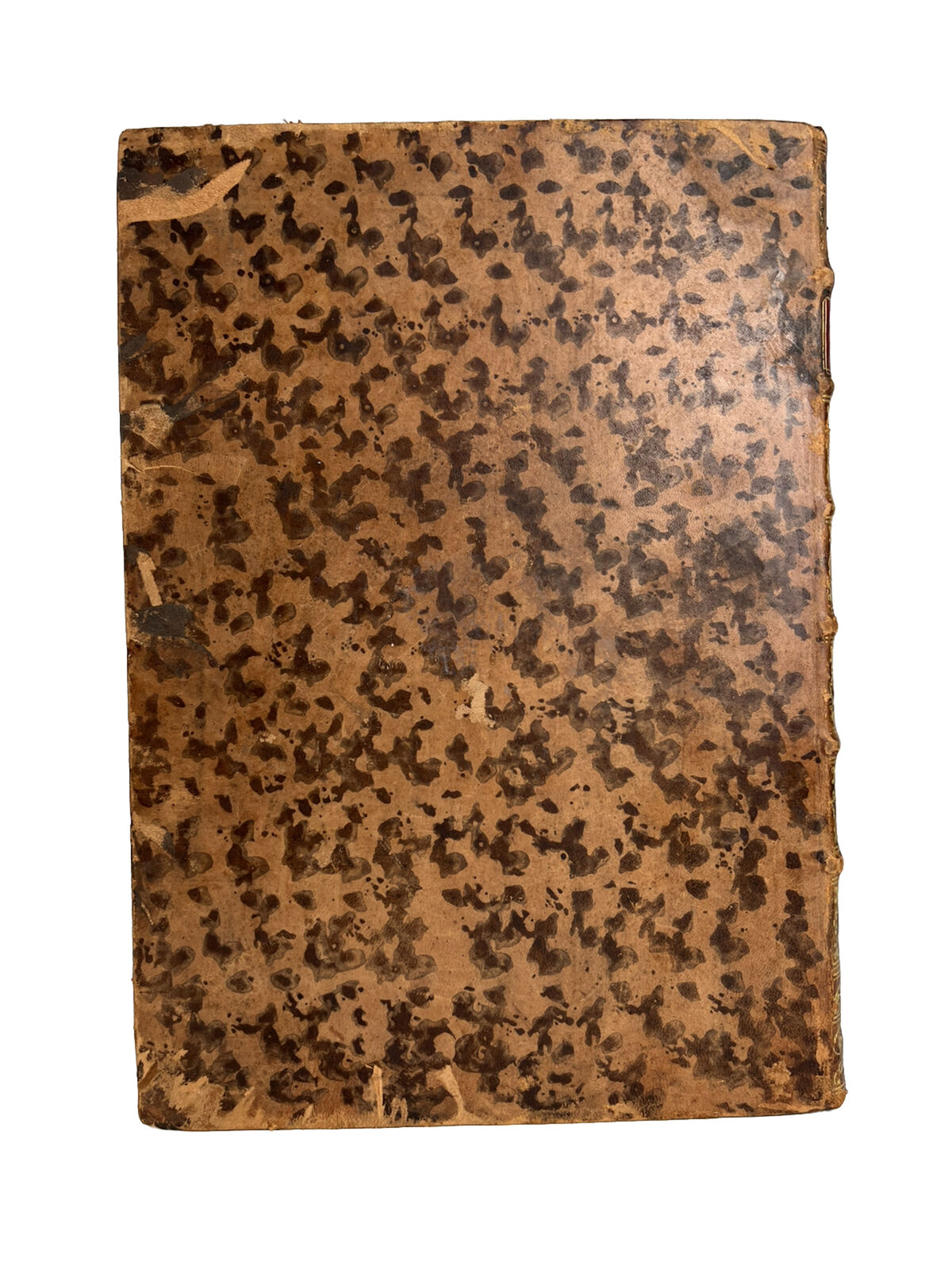
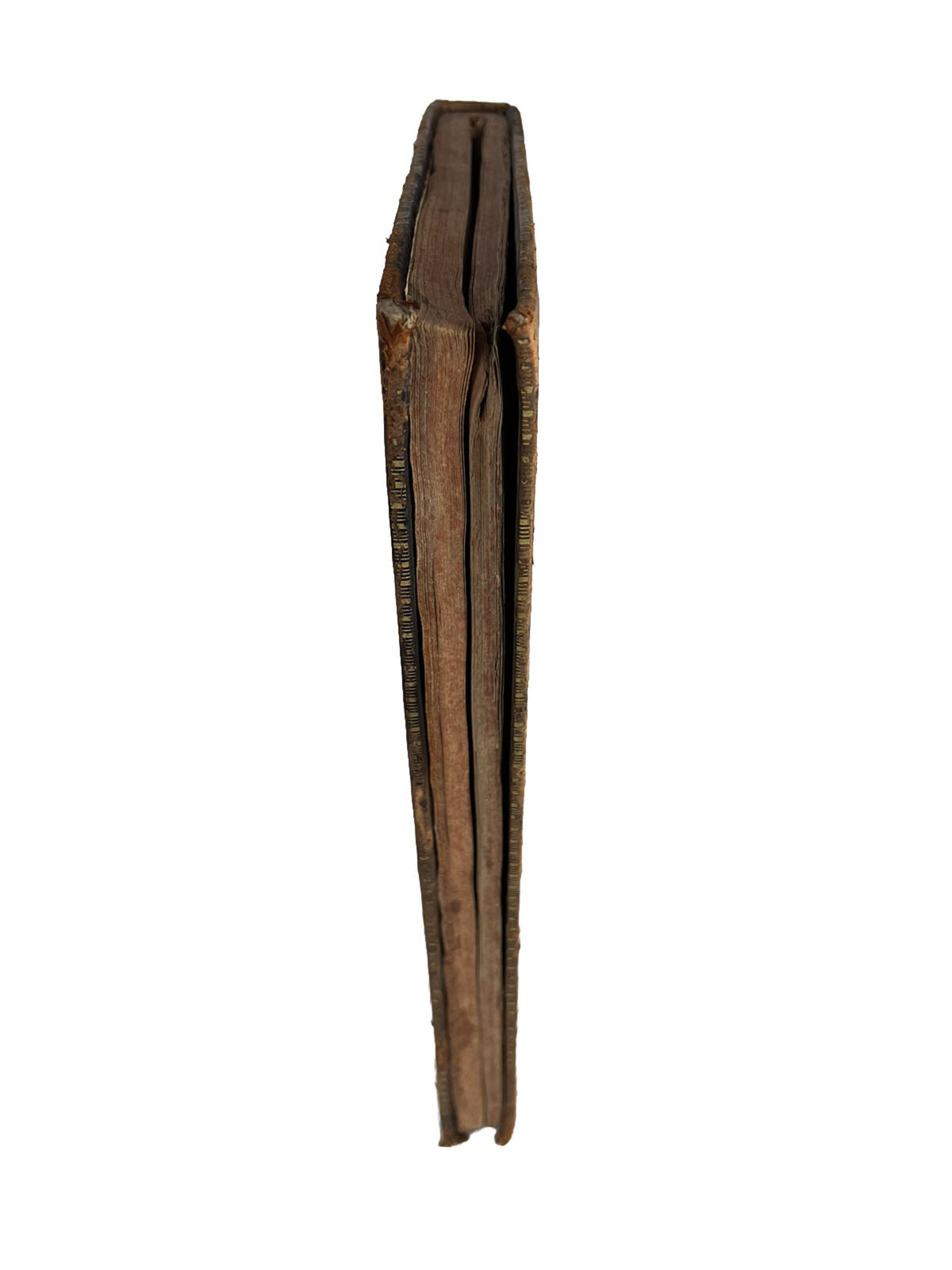
18th century full calf binding shows incredibly attractively on the shelf with a beautiful spine with intricate bright gilt between raised bands and a delightful tooled red morocco label which reads 'Ptolomei Geograph-'. The spine is lightly rubbed with some wear at the extremities but generally very good to near fine, slight loss of gilt at head. Boards with some light wear at extremities and some slight peeling and small areas of loss. Both boards are securely attached and the binding is secure and without shelf lean if stood properly. Page edges appear non uniform externally due to the removal of the maps which has left the stubs and therefore a gap. This has also caused some slight inward warping of the binding but this is not particularly aesthetically intrusive.
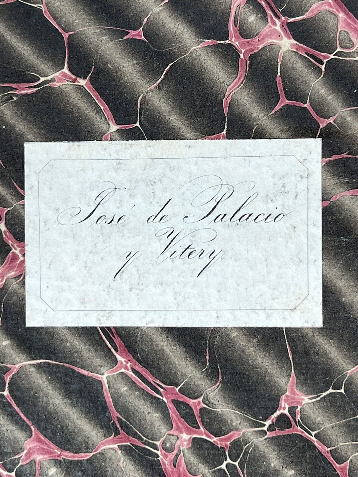
Small ownership bookplate to front pastedown of 'Jose de Palacio y Vitery'. Replaced endpapers without any dated watermarks but probably 18th century with the binding. Text block with some mild toning as typical and occasional very minor stains at the edges but generally the text block is in excellent condition and essentially as excellent as one could hope for with a post incunable book. There's a small amount of wormholing affecting the final 5ff of the index but this is at the foot of each leaf and does not affect any text.
This is clearly a book which has been well cared for in its near 500 year history with the only significant detraction being the removal of the maps.
