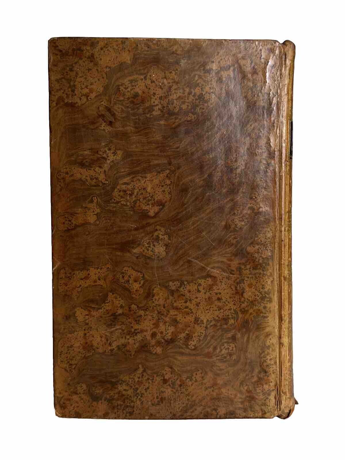
The General Gazetteer by R. Brookes 1800 Coloured Maps
The General Gazetteer by R. Brookes 1800 Coloured Maps
Couldn't load pickup availability
The General Gazetteer; or, Compendious Geographical Dictionary. Containing a Description of the Empires, Kingdoms, States, Provinces, Cities, Towns, Forts, Seas, Harbours, Rivers, Lakes, Mountains, Capes, &c. In the Known World; with the Government, Customs, Manners, and Religion of the Inhabitants; the Extent, Boundaries, and Natural Productions of Each Country; the Trade, Manufactures, and Curiosities of the Cities and Towns; Their Longitude, Latitude, Bearings and Distances in English Miles from Remarkable Places; and the Various Events by Which They Have Been Distinguished. Including an Account of the Counties, Cities, Boroughs, Market-Towns, and Principal Villages, in Great Britain and Ireland. Illustrated by Maps. Originally Written by R. Brookes, M.D. The Eleventh Edition, with Considerable Additions and Improvements. London: Printed for J. Johnson, et al., 1800.
-------------------
Size: 141 x 217 mm (approx.)
[foldout map, t.p., 1pp. (advertisement), iii-xvi, B1-3A3, 1ff.]
[OCLC 1205274562, 222798617].


